 Matanuska: Parks - Glenn Hwy Interchange
The Matanuska River defines the setting of Matanuska — its broad, glacially formed valley creates open lowlands between the Chugach Mountains and the Talkeetna Mountains. This is the Matanuska-Susitna Borough, north of Anchorage, where the Glenn Highway follows the valley floor toward Palmer and Alaska’s interior. Farming remains central to the valley’s identity, rooted in the Matanuska Colony, a New Deal agricultural settlement established in 1935. Palmer, the nearby borough seat, retains buildings associated with that project, while the surrounding corridor combines working land, residential growth and major transport infrastructure. Matanuska is less a conventional town centre than part of a long settled valley shaped by river channels, agriculture and the road network.
Generated by AI
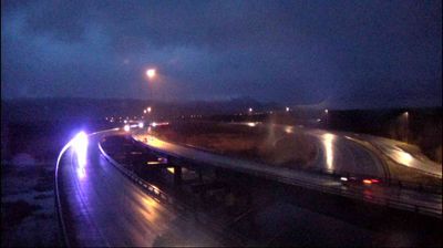


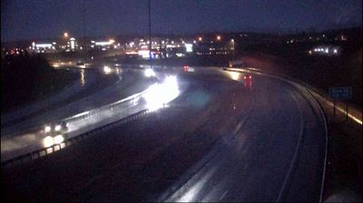
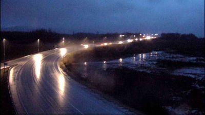

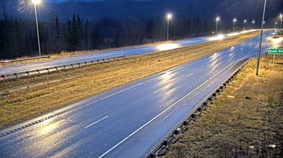

The landscape around Matanuska is a broad glacial valley beside the Matanuska River, with the Chugach Mountains rising to the south, and it has shaped both settlement patterns and farming. This small Alaskan community belongs to the Matanuska Valley, northeast of Anchorage, where long summer daylight and productive soils have supported agriculture despite a short growing season. The valley’s agricultural identity was reinforced by a 1935 New Deal resettlement project centered on nearby Palmer. Matanuska remains part of a road-linked valley rather than a dense urban centre, with the Glenn Highway connecting the area with Anchorage and Glennallen. Discover nearby webcam locations for complementary perspectives on the Matanuska Valley and the Chugach Mountains.
11 webcams
Built around the homelands of Indigenous peoples and later linked by fur-trade and mining routes, Alaska grew into the largest state in the United States. These coordinates lie in the Interior, where the Tanana River crosses a country of broad lowlands, boreal forest and long winters. Alaska extends from the Gulf of Alaska to the Arctic Ocean and includes Denali, North America’s highest mountain. Athabascan communities remain central to the living cultural fabric of the interior. The Alaska Railroad reached Fairbanks in 1923, helping connect this remote region with the coast. Browse additional webcams from the surrounding area to extend your view of Interior Alaska.
405 webcams
The Atlantic, Pacific and Gulf coasts define much of the United States — their ports, fisheries and trade routes have long tied the country’s economy to the wider world. Between them, the Rocky Mountains, Great Plains and Mississippi River basin form sharply different regions, from high western ranges to broad agricultural heartlands. Cities carry much of the national story: New York’s Statue of Liberty, a gift from France dedicated in 1886, remains an enduring symbol, while Washington, DC concentrates major federal institutions. Indigenous nations have shaped these lands for millennia, and their living cultures remain essential to the country’s identity. Find related webcams in the surrounding areas to build a fuller picture of the United States.
32K webcams