 Matamata: Kaimai Summit
Matamata’s surrounding terrain is rolling dairy pasture and low hills at the western foot of the Kaimai Range, which has shaped both the built environment and local life. The Waikato town stands within one of New Zealand’s major pastoral farming districts, where rural roads connect dispersed farms with the town centre. Matamata is internationally associated with the Hobbiton Movie Set on a nearby working farm, used for The Lord of the Rings and The Hobbit film trilogies. That screen connection has given tourism a distinctive role alongside agriculture. The Kaimai Range marks the eastern edge of the wider Waikato lowlands, while Matamata’s shops, cafés and accommodation support travel through this rural part of the North Island.
Generated by AI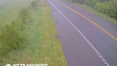
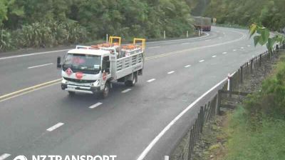




Matamata is best known in New Zealand for the Hobbiton Movie Set, the enduring screen home of the Shire in The Lord of the Rings and The Hobbit film trilogies. Set amid Waikato’s rolling pasture, the town lies below the western slopes of the Kaimai Range, a forested divide between the Waikato and Bay of Plenty regions. The working farm landscape around the film set remains central to Matamata’s identity, while the town itself provides cafés, accommodation and everyday services for travellers. Wairere Falls in the Kaimai Range is a notable local walking destination. Continue through nearby webcams to explore different parts of Matamata and Waikato.
4 webcams
The terrain of Waikato ranges from fertile river plains around Hamilton to forested ranges on the Coromandel Peninsula to the east, giving the region a varied mix of farmland, waterways and upland country. The Waikato River, New Zealand’s longest, runs through Hamilton and is central to the region’s geography and to Waikato-Tainui, the local Māori iwi. Hamilton is also home to Hamilton Gardens, an extensive public garden complex beside the river. Farther west, the Tasman Sea coast includes black-sand beaches shaped by volcanic material, while the south leads towards the central North Island’s geothermal and volcanic districts. Explore nearby webcam locations that provide complementary perspectives on Waikato.
15 webcams
New Zealand combines Pacific isolation with strong ties to the wider South Pacific in a way that reflects its position between the Tasman Sea and the open Pacific Ocean. The country’s two main islands are divided by Cook Strait, while the Southern Alps run along much of the South Island and include Aoraki / Mount Cook, its highest mountain. On the North Island, volcanic terrain shapes Tongariro National Park and the central plateau; long coastlines frame cities such as Auckland and Wellington. Māori culture is central to national life, and the Treaty of Waitangi, first signed in 1840, remains a foundational document in relations between Māori and the Crown. See how New Zealand fits within the wider South Pacific by browsing webcams nearby.
448 webcams