 Martensville
Among the communities of Saskatchewan, Martensville stands out for its position on Highway 12 just north of Saskatoon. The city occupies open, largely cultivated plains in the Saskatoon metropolitan area, where broad road corridors, service businesses and newer neighbourhoods meet the agricultural land of central Saskatchewan. Highway 12 is the principal north–south route through Martensville, linking it with Saskatoon and communities farther northwest. The South Saskatchewan River flows through Saskatoon south of the city, while the surrounding terrain remains characteristically level and open. Martensville grew from a small settlement into a city in 2009, and its residential growth has made it a notable commuter community in the Saskatoon area.
Generated by AI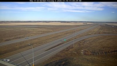
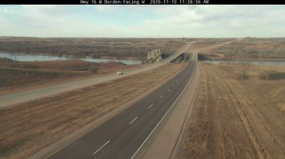


Few cities in Saskatchewan have a history as closely tied to prairie settlement and farming as Martensville. Set on the broad plains just north of Saskatoon, it has developed from a small rural community into one of the province’s fast-growing urban centres; Martensville was incorporated as a city in 2009. Highway 12 links its residential neighbourhoods and local businesses with Saskatoon, while the South Saskatchewan River valley forms a defining feature of the wider area. The city’s identity remains shaped by open agricultural country, community sport and the practical rhythms of a prairie commuter city. Continue through nearby webcams to explore different parts of Martensville and central Saskatchewan.
1 webcam
Saskatchewan stretches from the United States border to the 60th parallel at the Northwest Territories, encompassing southern grain-growing plains and the boreal forest and Canadian Shield of the north. The South Saskatchewan River crosses the settled south, including Saskatoon, while the Churchill River runs through a northern country of lakes, rock and conifers. Regina, the provincial capital, is home to the Saskatchewan Legislative Building, completed in 1912. First Nations and Métis communities remain central to the province’s identity; Cree, Dene, Saulteaux and Métis traditions reflect both prairie and northern cultures. Move on to other webcams in the region to compare landscapes and settings around Saskatchewan.
62 webcams
Canada has served as a frontier between French and British colonial powers since the 17th century. The world’s second-largest country extends from Atlantic shores to the Pacific and Arctic coasts, with the Canadian Shield, the Rocky Mountains, the Great Lakes and the St. Lawrence River shaping its vast geography. First Nations, Inuit and Métis peoples are central to Canada’s identity, while Ottawa’s Parliament Hill represents its federal political life. French remains the official language of Quebec, adding a distinct dimension to the country’s public culture. See how Canada connects across North America by browsing webcams in neighbouring regions.
3.5K webcams