 Manette Heights: TELEGRAPH RD @ NORTH OF CSX BR
Few places in northern Delaware have a history as closely tied to the rail link between Wilmington and Baltimore as Manette Heights. This small residential area sits in the rolling, wooded terrain of New Castle County, within the Piedmont belt that continues into Pennsylvania. Local roads pass beneath the railway, a reminder that this corridor has long shaped movement across the state’s northern edge. Nearby Wilmington grew into Delaware’s leading commercial and industrial centre on the Christina River, whereas Manette Heights belongs to its lower-density western fringe. Mature trees, homes and transport infrastructure give the area a distinctly suburban character between the built-up Wilmington region and the inland Piedmont.
Generated by AI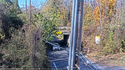

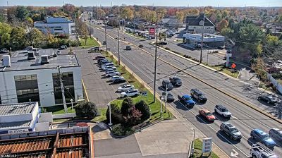
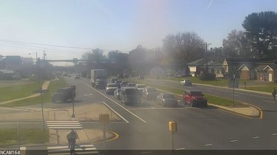
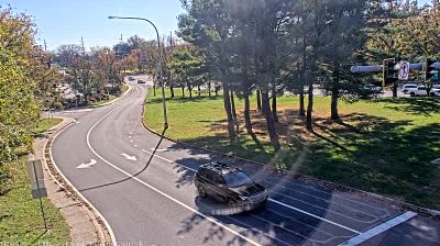


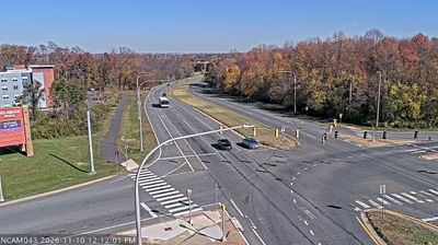
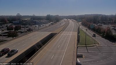

Manette Heights sits on the eastern edge of the Piedmont in Delaware, United States, where rolling terrain begins to give way to the Atlantic Coastal Plain. This residential locality lies west of Wilmington in northern Delaware’s most developed corridor, yet its surroundings retain wooded stream valleys and traces of older agricultural land. The broader Brandywine Valley is closely associated with the du Pont family, whose former estates include Winterthur Museum, Garden & Library. Delaware itself holds a singular place in US history as the first state to ratify the Constitution in 1787. Continue with other webcams from the area to see how this part of northern Delaware connects regionally.
2 webcams
Built around settlements and commerce on the Delaware River, Delaware grew into a compact Mid-Atlantic state. Its northern edge meets the river and Delaware Bay, while the south, including Sussex County near these coordinates, opens toward Atlantic beaches, salt marshes and low-lying farmland. Dover is the state capital; Wilmington, on the Christina River, is Delaware’s largest city and a long-standing industrial centre. Delaware was the first state to ratify the U.S. Constitution, on 7 December 1787, a distinction reflected in its “First State” nickname. Cape Henlopen, Lewes and Rehoboth Beach underline the importance of the coast to local life. Explore nearby webcam locations that provide complementary perspectives on Delaware’s coast, bay and inland communities.
374 webcams
The Atlantic, Pacific and Gulf coasts define much of the United States — their ports, fisheries and trade routes have long tied the country’s economy to the wider world. Between them, the Rocky Mountains, Great Plains and Mississippi River basin form sharply different regions, from high western ranges to broad agricultural heartlands. Cities carry much of the national story: New York’s Statue of Liberty, a gift from France dedicated in 1886, remains an enduring symbol, while Washington, DC concentrates major federal institutions. Indigenous nations have shaped these lands for millennia, and their living cultures remain essential to the country’s identity. Find related webcams in the surrounding areas to build a fuller picture of the United States.
32K webcams