 Mandurah: Corowa - YCOR -> Windsock SSE
The landscape around Corowa Airport is flat riverine farmland, which has shaped both the built environment and local life. The airfield lies near Corowa in southern New South Wales, beside the broad Murray River corridor that forms the state border with Victoria. Its runways and open grass verges sit amid the agricultural country of the Riverina, a region associated with irrigated farming and grazing. Corowa developed as a Murray River crossing and river port during the nineteenth century. It also holds an important place in Australia’s federation story: the Corowa Conference of 1893 helped revive the movement for a united Commonwealth. Today, the town remains a service centre for the surrounding rural district, with the river central to recreation and local identity.
Generated by AI


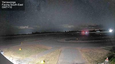


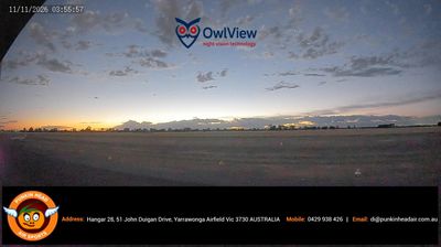

Mandurah sits on the Peel-Harvey Estuary system in Western Australia, where Peel Inlet, canals and wetlands meet the Indian Ocean coast. Its waterfront is shaped by the Dawesville Channel, which connects the estuary to the sea, and by residential waterways around Mandurah Ocean Marina. This is Bindjareb Noongar Country, with the Bindjareb people recognised as the traditional custodians of the area. Blue swimmer crabs are closely associated with the Peel-Harvey waters and are celebrated at Mandurah's annual Crab Fest. South of the city, Yalgorup National Park protects a chain of coastal lakes. View additional webcams nearby to better understand how Mandurah and the Peel region relate to their estuary, lakes and ocean coastline.
2 webcams
Western Australia occupies the western third of the Australian continent, stretching from the Indian Ocean coast to the dry heart of the outback. Its remote interior is defined by sandy plains, low dunes and spinifex grasslands, with immense distances between settlements. This is part of a wider network of Aboriginal Country: Indigenous peoples have maintained profound cultural connections to these lands for tens of thousands of years. Far from Perth and the coastal cities, the region reflects the scale and solitude of inland Australia, where travel demands preparation, respect for local access conditions and an awareness of seasonal heat. Discover other points of interest through webcams located across Western Australia.
86 webcams
Australia’s terrain extends from tropical rainforests in the northeast to arid plains in the interior, producing dramatic climatic contrasts. The Great Dividing Range follows much of the eastern coast, while the Great Barrier Reef lies off Queensland in the Coral Sea and Uluru rises from the central desert. Aboriginal and Torres Strait Islander peoples maintain living cultures whose connections to Country long predate European settlement. In Sydney, the sail-like Opera House, completed in 1973, stands beside one of the world’s best-known harbours. Discover further points of interest through webcams located across Australia.
1.7K webcams