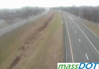
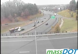
 Ludlow: I-90: I-90-EB-MM54.9 - Ex 54 Rt 21: EAST
Tucked into the Connecticut River Valley, Ludlow is a place whose character is shaped by wooded hills and the Chicopee River corridor. The Massachusetts Turnpike runs east–west through the town’s southern reaches, tying this part of the Pioneer Valley to wider New England. To the north, the Chicopee River forms part of Ludlow’s boundary before meeting the Connecticut River at Chicopee. Ludlow developed as a mill town, and its former mill district recalls a textile industry in which jute goods were especially important. Residential streets, woodland and transport infrastructure now share a landscape that still reflects both the valley’s industrial past and its position between Springfield and the uplands of central Massachusetts.
Generated by AI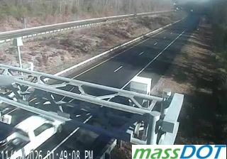
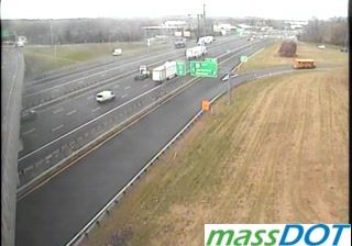

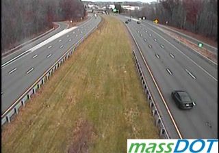
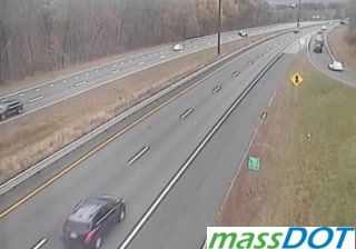

Built around water-powered textile mills beside the Chicopee River, Ludlow grew into an industrial town in western Massachusetts. The river forms much of the town’s northern boundary, while the broader Connecticut River Valley places Ludlow close to Springfield’s urban area and the wooded uplands of central Massachusetts. From the late 19th century, the Ludlow Manufacturing Company shaped local employment, attracting immigrant workers and leaving a legacy of substantial brick mill buildings. Portuguese-American traditions remain an important part of the town’s community identity, reflected in local businesses, family networks and civic life. Browse additional webcams from western Massachusetts to extend your view of the Connecticut River Valley.
2 webcams
Massachusetts has served as a colonial heartland within New England since the 17th century. Its terrain extends from the Atlantic coastline of Cape Cod and the islands to the Berkshire Hills in the west, while the Connecticut River runs through broad valley country in the state’s western interior. Boston, the capital, preserves major sites associated with the American Revolution, including the Old State House and the Freedom Trail. Cambridge adds another academic chapter through Harvard University, founded in 1636. Coastal ports, former mill cities and rural inland communities give the state sharply varied local character. Move on to other webcams in the region to compare landscapes and settings around Massachusetts.
202 webcams
The Atlantic, Pacific and Gulf coasts define much of the United States — their ports, fisheries and trade routes have long tied the country’s economy to the wider world. Between them, the Rocky Mountains, Great Plains and Mississippi River basin form sharply different regions, from high western ranges to broad agricultural heartlands. Cities carry much of the national story: New York’s Statue of Liberty, a gift from France dedicated in 1886, remains an enduring symbol, while Washington, DC concentrates major federal institutions. Indigenous nations have shaped these lands for millennia, and their living cultures remain essential to the country’s identity. Find related webcams in the surrounding areas to build a fuller picture of the United States.
32K webcams