 Longyearbyen
The terrain around Longyearbyen is a treeless Arctic valley enclosed by steep mountains, which has shaped both its compact settlement pattern and local life. Svalbard’s largest settlement occupies the lower Adventdalen beside Adventfjorden, a branch of the extensive Isfjorden system. Founded in 1906 as a coal-mining company town by American entrepreneur John Munro Longyear, it retains an industrial Arctic identity even as research, tourism and public services now sustain much of the community. The University Centre in Svalbard gives Longyearbyen an international academic role, while the surrounding valleys and fjords define the scale of this remote High Arctic settlement.
Generated by AI


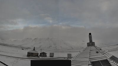


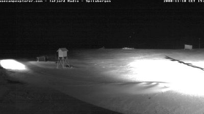

Among the settlements of Svalbard, Longyearbyen stands out as the archipelago’s principal inhabited centre. It lies on Adventfjorden, a branch of Isfjorden, beneath steep Arctic mountains where treeless slopes and glaciers shape the setting. The town developed around coal mining after American entrepreneur John Munro Longyear established operations here in 1906; mining remains part of its story, though research, education and tourism now play major roles. Longyearbyen is also close to the Svalbard Global Seed Vault, opened in 2008 to store backup copies of crop seeds from around the world. View additional webcams nearby to better understand how Longyearbyen relates to Svalbard’s fjords and interior.
5 webcams
Svalbard has served as an Arctic frontier within Norway since the 1920s. The archipelago lies deep in the Arctic Ocean, with Spitsbergen as its largest island and Isfjorden cutting into its western coast. Longyearbyen, on Adventfjorden, grew from coal mining and is now a base for research, education and polar travel. The Svalbard Treaty established Norway’s sovereignty while giving citizens of its signatory states rights to pursue certain economic activities. Glaciers, treeless tundra and sea ice define a place of extreme seasonal light. Continue with other webcams from the area to see how this part of the Norwegian Arctic connects regionally.
10 webcams
Norway has served as a seafaring link between the North Atlantic and northern Europe since the Viking Age. Its long coastline is cut by fjords, while the Lofoten archipelago rises sharply from the Norwegian Sea and the mountains of Jotunheimen include Galdhøpiggen, Norway’s highest peak. Bergen’s Bryggen, the former Hanseatic wharf, recalls centuries of maritime trade. Farther north, Sámi culture remains an essential part of the country’s identity. Explore nearby webcam locations that provide complementary perspectives on Norway’s coast, fjords and mountain regions.
1.5K webcams