 Loipersdorf-Kitzladen: VK_A02_104,205-F2-FL
The landscape around Loipersdorf-Kitzladen is gently rolling and wooded, which has shaped both the built environment and local life. The municipality lies near the Pinka River on the western edge of the Pannonian Basin, where farmland, woodland and dispersed settlements share the terrain. The A2 Südautobahn passes close by, placing this part of southern Burgenland on a major Austrian road corridor between Vienna and Graz. Loipersdorf-Kitzladen belongs to Burgenland, Austria’s easternmost state, which became part of Austria in 1921 after the Habsburg Monarchy’s collapse. Its setting remains distinctly rural, with the motorway threading through a largely forested stretch beyond the settled areas.
Generated by AI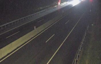
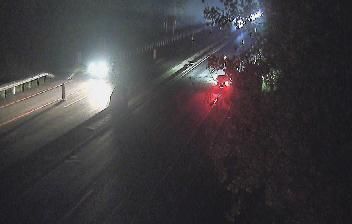


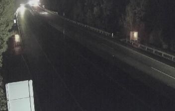


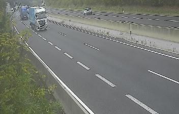

Loipersdorf-Kitzladen lies in the rolling valleys of southern Burgenland, where fields and woodland form a gradual transition toward the Pannonian plain. The municipality brings together the settlements of Loipersdorf and Kitzladen in Austria’s eastern borderland, a region whose traditions reflect Austrian, Hungarian and Croatian cultural connections. This is a distinctly rural setting, shaped by small settlements, farmsteads and local roads rather than urban development. Move on to other webcams in Burgenland to compare landscapes and settings around Loipersdorf-Kitzladen.
2 webcams
Among Austria’s regions, Burgenland stands out for its Pannonian character, where vineyards, gentle hills and the reed-fringed Neusiedler See meet the Hungarian border. Austria’s easternmost state has a warmer, drier climate than much of the country, and winegrowing is central to its identity; Blaufränkisch is particularly associated with the Mittelburgenland area. The shallow lake and surrounding wetlands form part of the Fertő/Neusiedlersee Cultural Landscape, a UNESCO World Heritage site shared with Hungary. Eisenstadt, the state capital, is home to Esterházy Palace, closely linked to composer Joseph Haydn’s long service at the Esterházy court. Discover other points of interest through webcams located across Burgenland.
82 webcams
Austria stretches from the Bohemian Massif along its northern edge to the Carnic Alps on the Italian border, encompassing high Alpine ranges and the Danube lowlands. The Danube links cities including Linz and Vienna, while the Grossglockner, at 3,798 metres, is the country’s highest mountain. Vienna developed for centuries as the seat of the Habsburg court, leaving imperial architecture around the Hofburg and Schönbrunn Palace. Salzburg is closely associated with Wolfgang Amadeus Mozart, who was born there in 1756. Alpine Tyrol, wine-growing areas east of Vienna and the lakes of Salzkammergut add markedly different regional identities. Browse other webcams across Austria to place this setting in a wider geographic context.
2.6K webcams