 Lockwood
 lies along the Truckee River in western Nevada, where a narrow high-desert corridor runs between the Virginia Range and the Pah Rah Range east of Reno. The community stands beside Interstate 80, a major overland route across the Great Basin, while the Reno–Sparks urban area begins farther west in Truckee Meadows. The Truckee flows from Lake Tahoe to Pyramid Lake, an enclosed desert lake within the Pyramid Lake Paiute Tribe Reservation. Its waters and terminus remain central to the homeland and identity of the Paiute people, placing Lockwood in a landscape shaped by transport, water and Indigenous continuity.
Generated by AI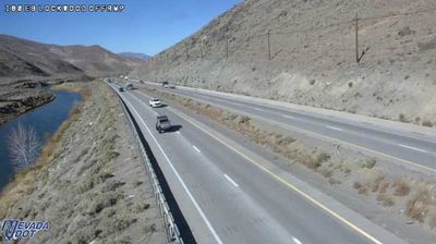

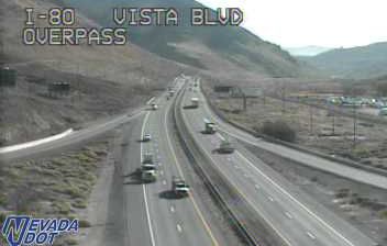
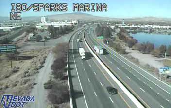
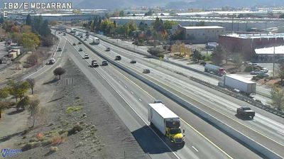
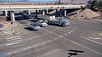
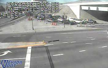

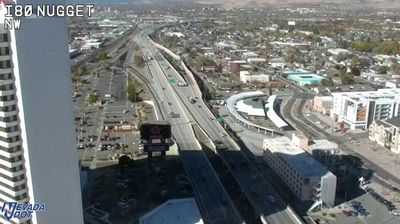


Built around the transport route through the Truckee River canyon, Lockwood grew into a small community on the eastern edge of the Reno–Sparks area. The Truckee River, flowing east from the Sierra Nevada toward Pyramid Lake, remains the defining geographic thread here; Interstate 80 and the Union Pacific rail line follow its valley. Lockwood lies in Washoe County, where the open Nevada basin begins to replace Reno’s urban fabric. This river corridor also formed part of the California Trail used by 19th-century emigrants travelling west. Continue with other webcams from the Truckee River corridor to see how this part of western Nevada connects regionally.
3 webcams
Nevada occupies an inland basin-and-range expanse in the western United States. Much of the state lies within the Great Basin, where long, dry valleys alternate with north–south mountain ranges and the Humboldt River crosses the northern interior. The Sierra Nevada forms part of its western edge, while the Colorado River marks much of the southeastern border. Nevada’s modern identity was shaped by mining: the 1859 Comstock Lode silver discovery near Virginia City helped fuel rapid development in the American West. Today, vast public lands, desert highways, ranching country and major cities such as Las Vegas give the state strikingly varied character. Browse other webcams across Nevada to place this setting in a wider geographic context.
444 webcams
The Atlantic, Pacific and Gulf coasts define much of the United States — their ports, fisheries and trade routes have long tied the country’s economy to the wider world. Between them, the Rocky Mountains, Great Plains and Mississippi River basin form sharply different regions, from high western ranges to broad agricultural heartlands. Cities carry much of the national story: New York’s Statue of Liberty, a gift from France dedicated in 1886, remains an enduring symbol, while Washington, DC concentrates major federal institutions. Indigenous nations have shaped these lands for millennia, and their living cultures remain essential to the country’s identity. Find related webcams in the surrounding areas to build a fuller picture of the United States.
32K webcams