 Llorts: Arcalís - Cap de la Coma

Ordino Arcalís lies at the head of the Valira del Nord valley in the Pyrenees, where high, largely treeless slopes and serrated ridges mark Andorra’s northern frontier. The ski area belongs to the parish of Ordino and forms part of Grandvalira Resorts, with lifts extending from the Arcalís basin into terrain shaped by glacial cirques. Nearby, the Tristaina lakes form a well-known mountain group beneath Pic de Tristaina. The valley also has an industrial legacy: Llorts iron mine recalls the ironworking that supported communities in Ordino from the 17th to the 19th centuries. Ordino Arcalís has entered cycling history as a finish location for stages of the Tour de France and Vuelta a España.
Generated by AI

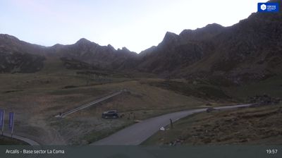
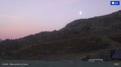

The landscape around Llorts is steep, forested Pyrenean terrain along the Valira del Nord, which has shaped both the compact settlement pattern and the work once carried out here. This hamlet belongs to Ordino parish in northern Andorra, where stone houses sit beside a mountain road beneath high slopes. Llorts is closely associated with the Ruta del Ferro, an interpretive route tracing Andorra’s former iron industry. The former Llorts mine is a key stop: iron ore was extracted in this valley and supplied the country’s traditional forges. Walks from the village lead into the Ordino valleys, while the road continues toward high mountain country near the French border. Explore nearby webcam locations that provide complementary perspectives on the Ordino valleys and northern Andorra.
2 webcams
Among the parishes of Andorra, Ordino stands out for its high Pyrenean valleys, stone-built settlement and close connection to mountain life. In the country’s north, the parish follows the Valira del Nord river through woodland and open slopes towards the higher terrain around Arcalís. Ordino village retains a notably traditional character, with narrow streets and the Casa d’Areny-Plandolit, a historic manor that documents the life of an influential Andorran family. The parish also includes the Sorteny Valley Natural Park, known for alpine habitats and walking routes. Find related webcams around Ordino to build a fuller picture of northern Andorra.
12 webcams
Among the countries of the eastern Pyrenees, Andorra stands out for its high mountain valleys and Catalan character. Set between France and Spain, this landlocked state is crossed by the Valira river system, whose valleys concentrate its towns, roads and much of everyday life. Catalan is the official language, and the capital, Andorra la Vella, brings together government, commerce and mountain access. In the east, the Madriu-Perafita-Claror Valley is inscribed on UNESCO’s World Heritage List as a cultural landscape shaped over centuries by pastoral use. Winter sports are central to the national calendar, while hiking and cycling take over when the snow recedes. Browse additional webcams from the Pyrenean surroundings to extend your view of Andorra’s mountain valleys.
118 webcams