 Lill-Tumba: Asptuna
Lill-Tumba is best known in Sweden for its position beside the E4 motorway, one of the country’s principal north–south routes. It lies on Södertörn, the wooded peninsula south of central Stockholm, where major transport corridors run between suburban districts and the wider Stockholm region. The E4 forms part of the European road network and carries traffic onward through Sweden toward the far south and north. Nearby Tumba developed around Tumba Bruk, a paper mill founded in 1755 to make paper for Swedish banknotes. Today, the area combines housing, forest margins and essential road infrastructure in Botkyrka Municipality.
Generated by AI
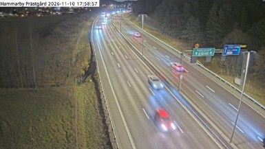
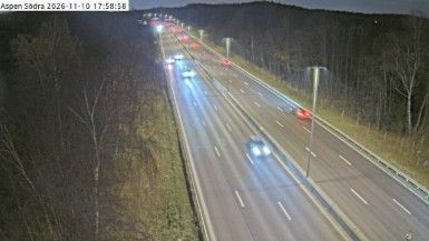

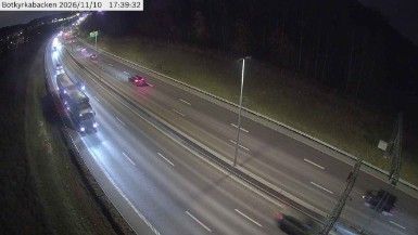

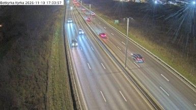

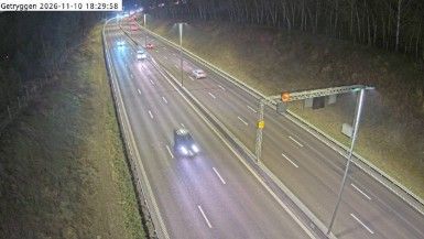
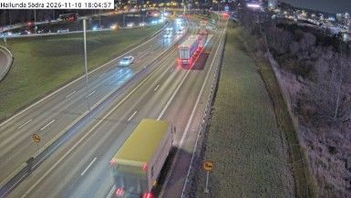

Built around the railway station on Sweden’s Western Main Line, Lill-Tumba grew into a residential part of Tumba, the administrative centre of Botkyrka Municipality. It stands on Södertörn, south of Lake Mälaren, within Stockholm’s extensive commuter belt. Rail connections place the district firmly in the orbit of the capital, while nearby Tumba Bruk recalls a much older industrial chapter: founded in 1755, the mill became Sweden’s producer of banknote paper. Housing, schools and everyday services shape Lill-Tumba more than visitor infrastructure, yet Stockholm’s museums and waterfront districts are easily reached by train. View additional webcams nearby to better understand how Lill-Tumba and Södertörn relate to their surroundings.
8 webcams
Stockholm County's terrain runs from dense urban lowlands around Stockholm in the west to wooded granite islands of the Baltic archipelago in the east, bringing city neighbourhoods and open water into close proximity. Lake Mälaren reaches the Baltic through central Stockholm, while ferries link the capital with islands farther out to sea. Gamla Stan, Stockholm’s historic core, occupies islands between the lake and the sea, and its streets lead to the Royal Palace. Vaxholm Fortress, beside a key water route toward the capital, recalls the archipelago’s strategic importance. Find related webcams in the surrounding area to build a fuller picture of Stockholm County.
321 webcams
Sweden combines Baltic coastal life with Arctic expanses in a way that reflects its position within northern Europe. Forests, lakes and long shorelines define much of the country, from Lake Vänern in the south to the Gulf of Bothnia and the mountains along the Norwegian border. Stockholm spreads across islands where Lake Mälaren meets the Baltic Sea, while the preserved 17th-century warship at the Vasa Museum recalls Sweden’s era as a major European power. Midsummer celebrations and the traditions of the Sámi people add further depth to its regional identity. Browse other webcams across Sweden to place this setting in a wider geographic context.
988 webcams