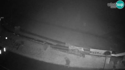
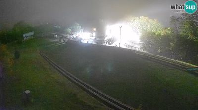
 Levec: Webcam Celje - Main swimming pool
The Savinja River defines the setting of Celje — its broad valley opens between wooded Slovenian hills and has long concentrated the city’s routes and neighbourhoods. Celje grew from the Roman town of Celeia into the seat of the Counts of Celje, a medieval dynasty whose three gold stars remain part of Slovenia’s national emblem. Celje Castle, rising above the urban centre, is Slovenia’s largest medieval castle complex. The city swimming pool belongs to a practical civic landscape of sports facilities, streets and daily life, while the Savinja valley gives this regional centre its open, lowland character.
Generated by AI

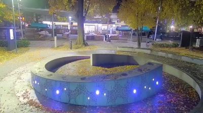
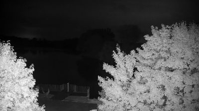

Levec sits in the Lower Savinja Valley in northeastern Slovenia, where open agricultural land extends below the Savinja Alps. The Savinja River follows the valley just north of the settlement, linking this area with the wider Sava basin. Levec belongs to the Municipality of Žalec, at the heart of Slovenia’s long-established hop-growing district; hop gardens remain a defining feature of the local countryside. In nearby Žalec, the Green Gold Beer Fountain reflects this brewing and hop-farming heritage. Continue to webcams elsewhere in northeastern Slovenia to compare valley settings around Levec.
2 webcams
Slovenia occupies a meeting point of the Alps, the Pannonian Plain, the Dinaric mountains and the Adriatic coast in south-central Europe. The Julian Alps rise in the northwest, where Triglav is the country’s highest mountain, while the Soča River is known for its clear turquoise water. Karst terrain has shaped caves such as Postojna Cave and the Škocjan Caves, a UNESCO World Heritage site. Ljubljana combines a riverside old town with works by architect Jože Plečnik; farther east, wine-growing regions and thermal springs add another dimension. Slovenian food reflects Alpine, Mediterranean and Balkan influences. Find related webcams in the surrounding area to build a fuller picture of Slovenia and the northern Adriatic.
783 webcams