 Leszno: Województwo wielkopolskie, Rzeczpospolita Polska
Among the towns of the Greater Poland Voivodeship, Leszno stands out for its role as a refuge for religious exiles and a centre of 17th-century learning. Granted town rights in 1547, it grew under the Leszczyński family and became home to Protestant communities, including exiles from Bohemia. The educator Jan Amos Comenius lived and worked here in the 17th century, creating a lasting link between Leszno and the history of Central European education. Set amid the level agricultural land of western Greater Poland, the town combines a compact centre with churches, civic buildings and reminders of its multi-confessional past.
Generated by AI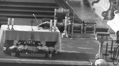

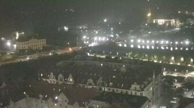


Leszno lies on the Leszno Lakeland in western Poland, where low, cultivated terrain is broken by small lakes and wooded patches. The town grew under the Leszczyński family and became an important refuge for Protestant communities in the 16th and 17th centuries. Czech educator Jan Amos Comenius lived and worked here from 1628 until 1656, linking Leszno closely with the history of the Unity of the Brethren. Its compact centre retains the Market Square and Town Hall, while speedway racing remains central to local identity through Unia Leszno. Find related webcams around Leszno and Greater Poland to gain a broader sense of this lowland region.
3 webcams
The terrain of Greater Poland Voivodeship ranges from glacial lake districts in the north to broad lowlands in the south, creating a largely open landscape shaped by waterways and farming. The Warta, one of Poland’s principal rivers, crosses the region and flows through Poznań, its largest city and a major centre of trade, education and industry. Greater Poland has a central place in the country’s early history: Gniezno is closely associated with the beginnings of the Polish state, while Poznań’s Ostrów Tumski contains the city’s cathedral. Lakes, forests and cultivated fields give the voivodeship a distinctly inland character beyond its urban centres. Continue with other webcams from the area to see how this part of western Poland connects regionally.
29 webcams
Poland stretches from the Baltic Sea coast in the north to the Carpathian Mountains along its southern frontier, encompassing broad lowlands, lake districts and upland ranges. The Vistula, the country’s longest river, links Kraków and Warsaw before reaching the Baltic near Gdańsk, while the Masurian Lake District is defined by a dense network of lakes. Kraków’s historic centre, including Wawel Castle, recalls Poland’s former royal capital; Warsaw’s rebuilt Old Town speaks to the city’s recovery after the Second World War. The Białowieża Forest preserves one of Europe’s last primeval lowland forests and is home to European bison. Follow how Poland’s regions relate to one another by browsing webcams across the country.
716 webcams