 Les Pujols: Les Pujols Airport

Les Pujols Airport lies in the Ariège valley, amid cultivated lowlands between Pamiers and the first ridges of the Pyrenees. The aerodrome supports general aviation and skydiving in the Ariège department, with Skydive Pamiers based here. Open fields give the site a distinctly rural setting, while the land rises southward toward the Pyrenean foothills. Nearby Pamiers, Ariège’s largest town, developed around the Abbey of Saint-Antonin; its church is now the town’s cathedral. The Ariège valley leads from the mountains toward Toulouse, placing this airfield in a transition zone between the Pyrenean front and the plains of southwest France.
Generated by AI
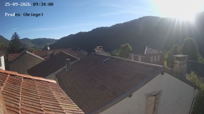
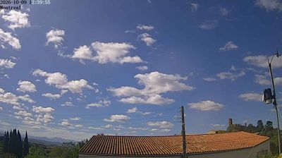
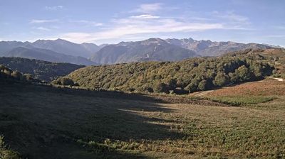
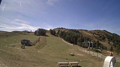
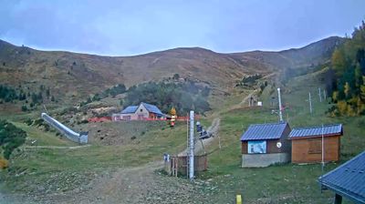
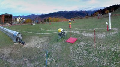
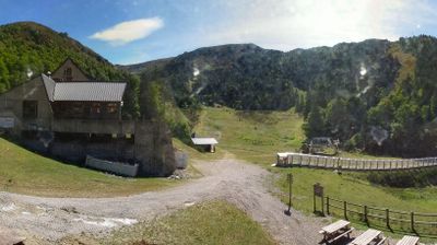


Les Pujols sits at the foothills of the Pyrenees in Occitanie, France, where cultivated hills form the northern approach to the Ariège mountain country. This small commune lies east of Pamiers, in a largely rural part of the department shaped by farms and scattered settlements rather than dense urban development. Its setting places it within historic Occitania, the cultural region associated with the Occitan language and southern French traditions. Local roads connect the area with Pamiers and, farther south, the Pyrenean valleys. Explore nearby webcam locations that provide complementary perspectives on Les Pujols and the Ariège foothills.
1 webcam
Occitania occupies a broad southern belt in France, extending from the Massif Central and the Pyrenees to the Mediterranean coast. These coordinates lie in the inland Haut-Languedoc area, where wooded hills and reservoirs around the upper Agout contrast with coastal plains farther east. Toulouse, the regional capital, stands on the Garonne and is associated with the Canal du Midi, a 17th-century waterway linking the city with the Mediterranean and listed as a UNESCO World Heritage Site since 1996. Roman sites, fortresses connected with the Cathar past, and the Occitan language tradition reveal the many layers of southern French identity. Continue through nearby webcams to explore different parts of Occitania.
214 webcams
The Atlantic and Mediterranean coastlines, together with the Alps, Pyrenees and broad river basins, define much of France — they support maritime trade, farming, wine regions and travel throughout the year. The Seine runs through Paris, where the Eiffel Tower and the Louvre are among Europe’s most recognised landmarks. The Loire Valley is known for Renaissance châteaux, while Mont-Saint-Michel rises from a tidal bay in Normandy. Regional food traditions are equally distinctive, from Breton seafood to Provençal cooking, with bread, cheese and wine central to everyday life. France’s global cultural influence is evident in its language, literature, fashion and cinema. View additional webcams nearby to better understand how France’s coasts, plains and mountain borders relate to their surroundings.
2.2K webcams