 Les Anses-d'Arlet: Cite Quentin: Martinique - Les Anses d'Arlet
The Caribbean Sea defines the setting of Les Anses-d’Arlet — sheltered coves on Martinique’s southwestern coast shape its low-rise waterfront and maritime character. The main settlement gathers around a sandy shoreline and small-boat anchorage, with wooded slopes rising close behind the coast. Fishing remains part of local life alongside boating and beachgoing. Saint-Henri Church, beside the waterfront, is a familiar landmark of the central Anse d’Arlet settlement. Elsewhere in the commune, Anse Dufour and Anse Noire extend a coast divided into small bays by short headlands. Les Anses-d’Arlet belongs to Martinique, a French overseas department whose culture combines French and Creole traditions.
Generated by AI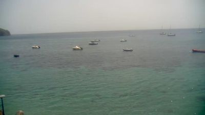

Les Anses-d’Arlet combines the pace of a small coastal commune with Martinique’s volcanic shoreline in a way that reflects its position on the Caribbean Sea. Grande Anse forms the town’s principal bay, where the church of Saint-Henri is a familiar landmark above the waterfront. Nearby, Anse Dufour remains associated with local fishing boats, while neighbouring Anse Noire is notable for its dark volcanic sand—an uncommon contrast on this coast. Set on Martinique’s southwest peninsula, the commune presents an island life shaped by coves, the sea and coastal connections beyond Fort-de-France. Discover other points of interest through webcams located across Martinique.
2 webcams
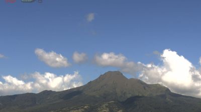
The terrain of Martinique ranges from volcanic mountains around Mount Pelée in the north to lower, drier hills and indented bays in the south, creating pronounced contrasts in climate and coastline. Set in the Lesser Antilles between the Caribbean Sea and the Atlantic, this French overseas department combines rainforest, cultivated slopes and urban life around Fort-de-France Bay. Mount Pelée's 1902 eruption destroyed Saint-Pierre, a reminder of the island's volcanic forces; the rebuilt town and its ruins remain an important historical reference. Sugarcane cultivation supports Martinique's rhum agricole tradition, while Creole language, food and music reflect Caribbean and French identities. Continue with other webcams from the area to see how this part of Martinique connects regionally.
3 webcams
The Atlantic and Mediterranean coastlines, together with the Alps, Pyrenees and broad river basins, define much of France — they support maritime trade, farming, wine regions and travel throughout the year. The Seine runs through Paris, where the Eiffel Tower and the Louvre are among Europe’s most recognised landmarks. The Loire Valley is known for Renaissance châteaux, while Mont-Saint-Michel rises from a tidal bay in Normandy. Regional food traditions are equally distinctive, from Breton seafood to Provençal cooking, with bread, cheese and wine central to everyday life. France’s global cultural influence is evident in its language, literature, fashion and cinema. View additional webcams nearby to better understand how France’s coasts, plains and mountain borders relate to their surroundings.
1.9K webcams