 Lem
Lem lies on the low agricultural plains of central Jutland, where open fields, drainage channels and shelterbelts run towards a broad horizon. The small locality is part of the rural area north of Randers, shaped by working farms, scattered homes and modest stands of woodland rather than continuous urban streets. A local grass airfield adds a strand of general aviation to this settled countryside, with space devoted to take-offs, landings and aircraft activity. Lem represents the quieter interior of Denmark: a functional farm landscape where everyday land use, road connections and local flying coexist.
Generated by AI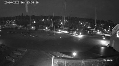
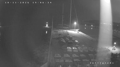


Built around a rural parish, Lem grew into a small settlement in eastern Jutland’s Randers Municipality. It stands in cultivated country north of Randers, not far from Randers Fjord, the inlet through which the Gudenå reaches the Kattegat. Lem Church remains a local reference point and recalls the parish framework that has long shaped communities across this part of Denmark. Rather than an urban centre, Lem reflects the everyday character of Central Jutland: farms, local roads and close ties to the surrounding towns. Explore nearby webcam locations that provide complementary perspectives on Randers and eastern Jutland.
1 webcam
The central reaches of the Jutland Peninsula define much of Central Denmark Region – productive farmland, heath, woodland and towns support an economy linking agriculture, industry, education and services. Aarhus, Denmark’s second-largest city, is the region’s urban focal point on Aarhus Bay, with a working harbour, the ARoS Aarhus Art Museum and Den Gamle By open-air museum. Inland, the Gudenå, Denmark’s longest river, runs through the Lake District around Silkeborg, where forests and lakes contrast with the coast. Viborg, one of Denmark’s oldest cities, adds another historic layer through its cathedral. Discover further points of interest through webcams across Central Denmark Region.
15 webcams
The terrain of Denmark ranges from low, fertile islands in the east to wind-shaped dunes along western Jutland, creating a country closely tied to the sea. Its long coastline meets both the North Sea and the Baltic Sea, while the Wadden Sea on the southwest coast forms part of a UNESCO World Heritage site shared with Germany and the Netherlands. Copenhagen brings together royal institutions, cycling culture and Danish design; Nyhavn is lined with historic townhouses from the 17th and 18th centuries. Viking monuments at Jelling, also UNESCO-listed, recall the era in which the Danish kingdom took shape. Continue through nearby webcams to explore different parts of Denmark.
44 webcams