 Leland: Greenville Bypass
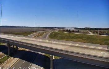
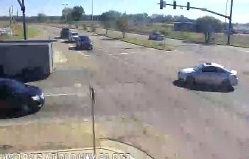
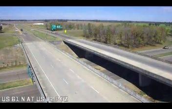
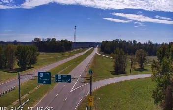
The Greenville Bypass occupies flat agricultural lowlands in the Mississippi Delta near Leland, Mississippi. This divided section of U.S. Route 82 runs east of Greenville, carrying traffic around the city across a landscape of large fields and drainage channels. U.S. 82 is an important east–west highway in this part of the state, while nearby U.S. Route 61 follows a historic north–south corridor through the Delta. The wider region is closely associated with the blues, which developed in African American communities of the Mississippi Delta and went on to influence popular music far beyond it. Leland and Greenville remain part of a working rural region where farming, transport routes and Delta culture meet.
Generated by AI

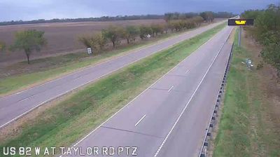


Leland combines small-town calm with a lasting place in American popular culture in a way that reflects its setting in the Mississippi Delta. The town stands on Deer Creek in Washington County, amid the flat agricultural lowlands of western Mississippi. Leland is closely linked to puppeteer Jim Henson, who spent part of his childhood here; the community marks that connection through the Birthplace of Kermit the Frog Museum. Its position near U.S. Route 61 also places it within the wider geography of the Delta blues, a musical tradition rooted in this region. Browse additional webcams from the Mississippi Delta to extend your view of western Mississippi.
7 webcams
Mississippi occupies a broad, low-lying section of the Gulf Coastal Plain in the southeastern United States. The Mississippi River forms much of its western boundary, while the fertile Mississippi Delta lies between that river and the Yazoo River in the northwest. Forests, farmland and slow-moving waterways shape the interior; the state also meets the Gulf of Mexico along its short southern coast. Jackson, the capital, stands on the Pearl River. The Natchez Trace Parkway follows an old travel corridor, and the Delta is closely associated with the development of blues music. Discover other points of interest through webcams located across Mississippi.
441 webcams
The Atlantic, Pacific and Gulf coasts define much of the United States — their ports, fisheries and trade routes have long tied the country’s economy to the wider world. Between them, the Rocky Mountains, Great Plains and Mississippi River basin form sharply different regions, from high western ranges to broad agricultural heartlands. Cities carry much of the national story: New York’s Statue of Liberty, a gift from France dedicated in 1886, remains an enduring symbol, while Washington, DC concentrates major federal institutions. Indigenous nations have shaped these lands for millennia, and their living cultures remain essential to the country’s identity. Find related webcams in the surrounding areas to build a fuller picture of the United States.
32K webcams