 Leinfelden-Echterdingen
The Filder plateau defines the setting of Leinfelden-Echterdingen — its broad, gently rolling ground south of Stuttgart accommodates Stuttgart Airport and the Messe Stuttgart exhibition centre. Formed in 1975 through the merger of Leinfelden and Echterdingen, the municipality combines established residential districts with a major transport and business zone. Stuttgart Airport, officially Flughafen Stuttgart, is Baden-Württemberg’s largest airport and stands beside Messe Stuttgart, one of Germany’s leading trade-fair venues. S-Bahn services link the airport area with central Stuttgart, while the surrounding Filder plain has long been shaped by farming and settlement.
Generated by AI
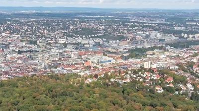

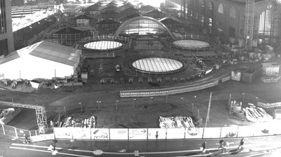

Leinfelden-Echterdingen has served as an agricultural settlement area on the Filder plateau in Baden-Württemberg since the Middle Ages. The present town was formed in 1975 from Leinfelden, Echterdingen, Musberg and Stetten auf den Fildern, whose distinct identities still shape its local centres. The plateau’s loess soils long supported market gardening; Filderkraut, a pointed cabbage associated with the region, remains a local culinary tradition. Stuttgart Airport and Messe Stuttgart place the town on an important transport and exhibition corridor, while farmland and woodland remain close by. Browse other webcams across the Stuttgart region and Baden-Württemberg to place this setting in a wider geographic context.
1 webcam
Baden-Württemberg is best known within Germany for the Black Forest, the wooded upland region that shapes much of the state’s southwest. Its terrain also reaches from the Upper Rhine plain and its wine-growing areas to the limestone ridges of the Swabian Jura, while Lake Constance marks part of the southern frontier. Stuttgart, the state capital, is closely tied to the automobile industry and hosts the Mercedes-Benz Museum and Porsche Museum. Heidelberg’s old town and castle add another important strand to the region’s identity, alongside renowned universities, spas and regional cooking. Find related webcams in the surrounding area to build a fuller picture of Baden-Württemberg.
542 webcams
Germany stretches from the North Sea and Baltic Sea coasts to the Alps on its southern border, encompassing northern plains, river valleys and forested uplands. The Rhine, Danube and Elbe have long connected its regions, while the Black Forest and Bavarian Alps give the south a more dramatic relief. Berlin’s Brandenburg Gate and Museum Island reflect the capital’s role in German history and culture. Cologne Cathedral, a UNESCO World Heritage Site, rises above the Rhine, and the Bauhaus movement, founded in Weimar in 1919, transformed modern design far beyond Germany. Regional cooking, Christmas markets and brewing traditions bring further character to daily life. Browse additional webcams from the surrounding area to extend your view of Germany.
2.8K webcams