 Leba: Łeba Plaża naturystyczna - Słowiński National Park
Łeba is best known in Poland for its proximity to the shifting dunes of Słowiński National Park. On the Baltic Sea, the town stands between a long sandy shore and the coastal lakes and forests protected by the park, including Lake Łebsko. Wind continually reshapes the park’s exposed dunes, making this one of Poland’s most distinctive stretches of coast. Łeba has long been tied to fishing, and its harbour still provides a working link between the town and the sea. The designated naturist beach occupies a quieter section of shoreline near the park, where dune grass and pine woods form the coastal setting.
Generated by AI
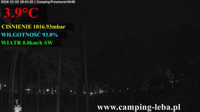


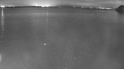
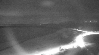
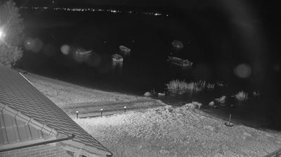
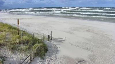

The Baltic Sea and the mouth of the Łeba River define the setting of Leba — sandy beaches, a harbour and low coastal ground shape daily life in this northern Polish resort. Just west of town, Słowiński National Park protects the Moving Dunes, a belt of wind-driven sand that gradually changes the shoreline. Leba has long been connected with fishing, and its port remains central to the town’s maritime character alongside summer tourism. Nearby Lakes Łebsko and Sarbsko add wetlands to a coast where sea, dunes and inland waters meet. Continue with other webcams from the area to see how this part of Pomeranian Voivodeship connects regionally.
3 webcams
Pomeranian Voivodeship has served as an administrative region within Poland since 1999. Stretching from the Baltic coast to the wooded Kashubian Lake District, it brings together Poland’s maritime north and an inland country of lakes and forests. The Vistula reaches the sea near Gdańsk, while the coast includes the shifting dunes of Słowiński National Park. Gdańsk, a historic Baltic port and member of the Hanseatic League, anchors the Tri-City urban area with Sopot and Gdynia. Kashubian language and traditions remain an important part of the region’s identity, particularly west of Gdańsk. See how Pomeranian Voivodeship fits within northern Poland by browsing webcams nearby.
64 webcams
Poland stretches from the Baltic Sea coast in the north to the Carpathian Mountains along its southern frontier, encompassing broad lowlands, lake districts and upland ranges. The Vistula, the country’s longest river, links Kraków and Warsaw before reaching the Baltic near Gdańsk, while the Masurian Lake District is defined by a dense network of lakes. Kraków’s historic centre, including Wawel Castle, recalls Poland’s former royal capital; Warsaw’s rebuilt Old Town speaks to the city’s recovery after the Second World War. The Białowieża Forest preserves one of Europe’s last primeval lowland forests and is home to European bison. Follow how Poland’s regions relate to one another by browsing webcams across the country.
709 webcams