 Lawrence: I-465: 1-465-039-8-1 E 56TH ST
Lawrence occupies a suburban corridor on Indianapolis’s northeast side in central Indiana. The city is shaped by the meeting of Interstates 465 and 69, a major junction between Indianapolis’s beltway and routes leading northeast across the state. Fall Creek runs through Lawrence and Fort Harrison State Park, where woodland and former military grounds preserve a quieter part of the city’s setting. The park occupies part of the old Fort Benjamin Harrison, a U.S. Army post established in 1903 and closed in 1995. Lawrence combines residential districts, commercial corridors and important road infrastructure while remaining closely tied to metropolitan Indianapolis.
Generated by AI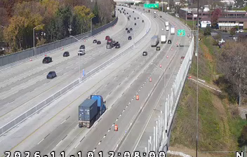
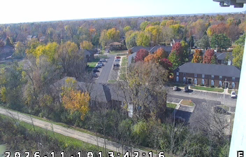
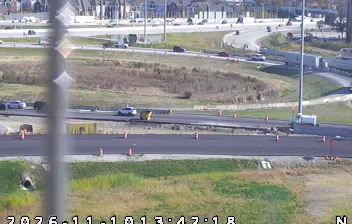
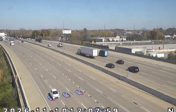
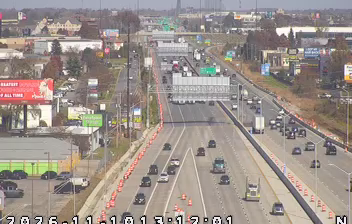
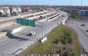



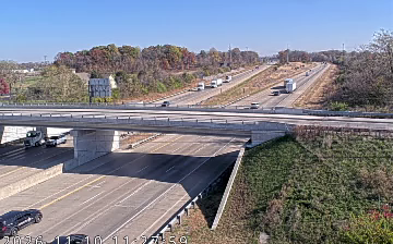

Among the cities of Indiana, Lawrence stands out for incorporating the former Fort Benjamin Harrison military post into its modern urban fabric. On Indianapolis’s northeast side, the city extends to the wooded banks of Fall Creek, where Fort Harrison State Park occupies much of the old installation. Established in 1903, Fort Benjamin Harrison served as a U.S. Army post for most of the 20th century before closing in 1996. Its grounds now provide trails, a golf course and substantial public green space, giving Lawrence a character shaped by both metropolitan growth and its military past. Browse additional webcams from central Indiana to extend your view of Lawrence and its surroundings.
1 webcam
Indiana’s terrain ranges from the sandy Lake Michigan shore and glaciated plains in the north to wooded, rolling hills in the south, creating a clear shift in character across the state. The Wabash River, Indiana’s state river, follows much of the western border before meeting the Ohio River. Indianapolis anchors the centre with the Indianapolis Motor Speedway, home of the Indianapolis 500, while smaller cities and farming communities reflect the importance of corn and soybean country. Indiana Dunes National Park adds beaches and dune formations to a state better known for its interior. Find related webcams in the surrounding area to build a fuller picture of Indiana.
353 webcams
The Atlantic, Pacific and Gulf coasts define much of the United States — their ports, fisheries and trade routes have long tied the country’s economy to the wider world. Between them, the Rocky Mountains, Great Plains and Mississippi River basin form sharply different regions, from high western ranges to broad agricultural heartlands. Cities carry much of the national story: New York’s Statue of Liberty, a gift from France dedicated in 1886, remains an enduring symbol, while Washington, DC concentrates major federal institutions. Indigenous nations have shaped these lands for millennia, and their living cultures remain essential to the country’s identity. Find related webcams in the surrounding areas to build a fuller picture of the United States.
32K webcams