 Laurier: US 395 at MP 270.1
Few places in northeastern Washington have a history as closely tied to the Canada–United States border as Laurier. The small community stands beside the Kettle River, where US Route 395 meets the Laurier–Cascade border crossing and continues into British Columbia as Highway 3. Named for Canadian prime minister Sir Wilfrid Laurier, it has long been defined by movement across the international line rather than by urban growth. River flats, grassland and wooded slopes surround this remote stretch of Washington. Laurier remains a practical stopping point for traffic linking the Kettle River valley with southern British Columbia.
Generated by AI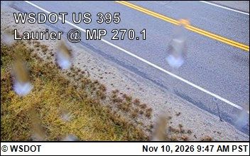
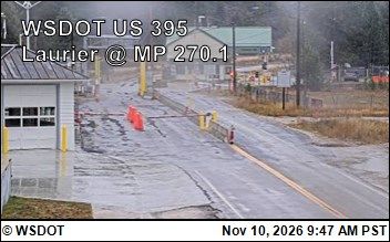
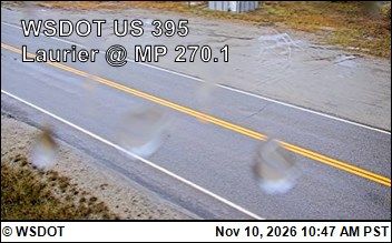

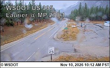
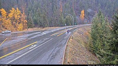

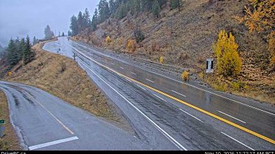
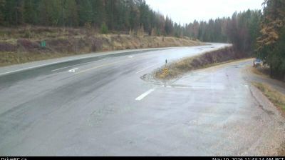

Laurier occupies the Kettle River valley on the Canadian border in northeastern Washington. This small Ferry County community sits at the Laurier–Cascade border crossing, where Washington State Route 21 meets British Columbia Highway 3. The Kettle River, a tributary of the Columbia River, lends the settlement its narrow valley setting amid the wooded uplands of the inland Pacific Northwest. Cross-border travel has long been central to Laurier’s role, linking rural Washington with communities in southern British Columbia. Browse other webcams across Washington and the Kettle River region to place this border setting in a wider geographic context.
8 webcams
Washington’s terrain runs from Pacific coastal lowlands in the west to the dry Columbia Plateau in the east, with the Cascade Range creating a marked climatic divide. Central Washington lies on the plateau side of the Cascades, where the Columbia River has cut broad valleys and irrigation supports orchards and vineyards. The state also includes Puget Sound, the intricate marine inlet around Seattle, and the volcanic cone of Mount Rainier. Seattle’s Space Needle, built for the 1962 World’s Fair, remains one of its most recognisable landmarks. Move on to other webcams in the region to compare landscapes and settings around Washington.
1.5K webcams
The Atlantic, Pacific and Gulf coasts define much of the United States — their ports, fisheries and trade routes have long tied the country’s economy to the wider world. Between them, the Rocky Mountains, Great Plains and Mississippi River basin form sharply different regions, from high western ranges to broad agricultural heartlands. Cities carry much of the national story: New York’s Statue of Liberty, a gift from France dedicated in 1886, remains an enduring symbol, while Washington, DC concentrates major federal institutions. Indigenous nations have shaped these lands for millennia, and their living cultures remain essential to the country’s identity. Find related webcams in the surrounding areas to build a fuller picture of the United States.
32K webcams