 Laurel: SR 539 at MP 5.9: Ten Mile Rd
Laurel has served as an agricultural crossroads in Whatcom County, Washington, since the late nineteenth century. This small unincorporated community stands where State Route 539, locally called the Guide Meridian, meets Ten Mile Road, on the broad lowlands of the Nooksack River. SR 539 is a principal north–south route between Bellingham, Lynden and the Canadian border. Fields, roadside businesses, warehouses and scattered housing give the junction a working rural character, while the Cascade Range lies to the east. The name Guide Meridian recalls the federal land-survey grid that shaped settlement patterns across this part of Washington. Laurel is a useful reference point for understanding the county’s farming and transport landscape.
Generated by AI

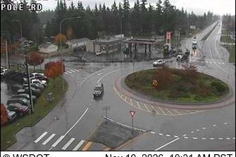
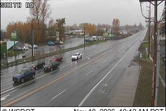

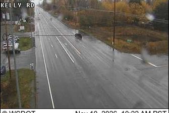



Laurel occupies a low, pine-forested setting along Tallahala Creek in southeastern Mississippi. The city developed around the pine-lumber industry, and its historic districts retain early-20th-century commercial and residential architecture shaped by that era. Founded in 1923, the Lauren Rogers Museum of Art is Mississippi’s oldest art museum, with collections spanning American and European art as well as Japanese woodblock prints. Laurel gained wider recognition through the television series Home Town, whose renovation projects focus on established neighborhoods and downtown buildings. Discover further points of interest through webcams across Laurel and southeastern Mississippi.
7 webcams
Mississippi occupies a broad, low-lying section of the Gulf Coastal Plain in the southeastern United States. The Mississippi River forms much of its western boundary, while the fertile Mississippi Delta lies between that river and the Yazoo River in the northwest. Forests, farmland and slow-moving waterways shape the interior; the state also meets the Gulf of Mexico along its short southern coast. Jackson, the capital, stands on the Pearl River. The Natchez Trace Parkway follows an old travel corridor, and the Delta is closely associated with the development of blues music. Discover other points of interest through webcams located across Mississippi.
442 webcams
The Atlantic, Pacific and Gulf coasts define much of the United States — their ports, fisheries and trade routes have long tied the country’s economy to the wider world. Between them, the Rocky Mountains, Great Plains and Mississippi River basin form sharply different regions, from high western ranges to broad agricultural heartlands. Cities carry much of the national story: New York’s Statue of Liberty, a gift from France dedicated in 1886, remains an enduring symbol, while Washington, DC concentrates major federal institutions. Indigenous nations have shaped these lands for millennia, and their living cultures remain essential to the country’s identity. Find related webcams in the surrounding areas to build a fuller picture of the United States.
32K webcams