 Lauder
 combines the quiet scale of a rural settlement with the scientific profile of an atmospheric research site in a way that reflects its position in Central Otago’s wide inland basin. The locality lies in the Manuherikia Valley, a farming district framed by low ranges and broad cultivated flats. NIWA’s Lauder Atmospheric Research Station has made the area internationally important for long-term observations of the atmosphere, including ozone and greenhouse gases. Lauder also sits on the 152-kilometre Otago Central Rail Trail, a cycling and walking route created along the former Otago Central Branch railway. Open roads, shelterbelts and working farms define this side of inland Otago.
Generated by AI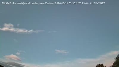



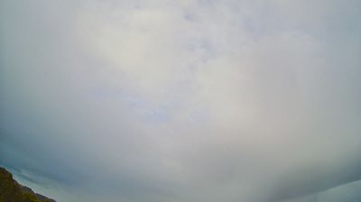

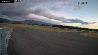


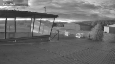

Lauder sits in the Manuherikia Valley in Otago, New Zealand, where dry inland plains are edged by Central Otago’s open, largely treeless hills. This small settlement is a stop on the Otago Central Rail Trail, a cycling and walking route following the former Otago Central Railway. The trail gives Lauder a practical role in a region shaped by pastoral farming, broad skies and the pronounced seasons of the South Island interior. Nearby Omakau provides local services for travellers moving through the valley. Find related webcams in Central Otago and the Manuherikia Valley to build a fuller picture of Lauder’s inland setting.
5 webcams
Otago stretches from the Southern Alps to the Pacific Ocean, encompassing alpine basins, dry inland ranges and a long southern coastline. At its centre, the Clutha/Mata-Au, New Zealand’s second-longest river, cuts through Central Otago, where schist country, orchards and vineyards give the interior a continental character. The 1860s gold rush left a clear legacy in former mining settlements including Clyde and Arrowtown. On the coast, Dunedin’s Victorian and Edwardian architecture reflects its Scottish foundations, while Otago Peninsula is known for marine wildlife. Browse additional webcams from the surrounding area to extend your view of Otago.
54 webcams
New Zealand combines Pacific isolation with strong ties to the wider South Pacific in a way that reflects its position between the Tasman Sea and the open Pacific Ocean. The country’s two main islands are divided by Cook Strait, while the Southern Alps run along much of the South Island and include Aoraki / Mount Cook, its highest mountain. On the North Island, volcanic terrain shapes Tongariro National Park and the central plateau; long coastlines frame cities such as Auckland and Wellington. Māori culture is central to national life, and the Treaty of Waitangi, first signed in 1840, remains a foundational document in relations between Māori and the Crown. See how New Zealand fits within the wider South Pacific by browsing webcams nearby.
482 webcams