 Laterns

Laterns combines open grazing slopes with densely wooded mountainsides in a way that reflects its Alpine position in Vorarlberg. The municipality occupies the valley of the Frutz, a tributary of the Ill, above the Rhine Valley. Its dispersed settlement pattern and land use are shaped by Alpine pasture farming, a working tradition that also supports the region’s dairy culture. Laterns-Gapfohl is the local mountain and ski area, with lifts and pistes set across meadows and along forest margins rather than around a built-up resort centre. The Furkajoch road leads from the valley towards the high pass and the Bregenzerwald, placing Laterns among the quieter mountain communities of western Austria.
Generated by AI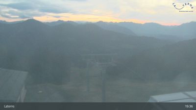
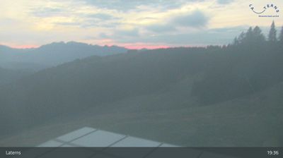
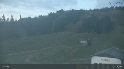
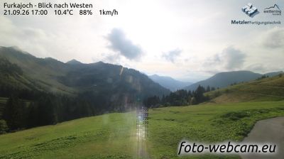
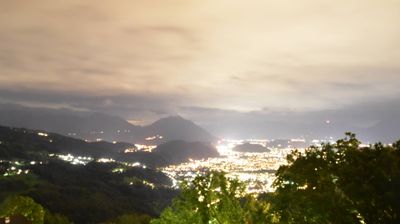
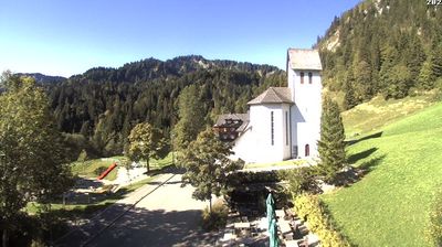
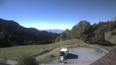
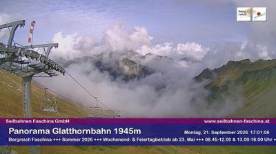

Laterns is best known within Vorarlberg for the Laterns–Gapfohl ski area, a winter-sports centre above the Frutz Valley. The municipality occupies the Laternser Tal, where the Frutz descends from the forested slopes of the Bregenzerwald Mountains towards the Ill near Rankweil. Scattered hamlets, farmed clearings and alpine pastures give this settlement a distinctly rural character, while local roads and paths lead into higher terrain. In summer, the slopes draw walkers and cyclists; once snow arrives, Gapfohl’s lifts and pistes become the focus. The village church and the continuing use of mountain pastures reflect the valley’s long agricultural tradition. Explore nearby webcam locations that provide complementary perspectives on Laterns and the Frutz Valley.
4 webcams
Built around Alpine valley routes and the Rhine corridor, Vorarlberg grew into Austria’s westernmost federal state, where the Alps meet the shores of Lake Constance. The Rhine forms much of its border with Switzerland, while the Bregenzerwald, Arlberg and Montafon give the region a strongly mountainous character. Bregenz, on Lake Constance, is known internationally for the Bregenz Festival and its lakeside floating stage. Compact towns, timber architecture and a long textile-manufacturing tradition reflect a region linked closely to neighbouring Switzerland, Germany and Liechtenstein. Find related webcams in the surrounding area to build a fuller picture of Vorarlberg.
273 webcams
Austria stretches from the Bohemian Massif along its northern edge to the Carnic Alps on the Italian border, encompassing high Alpine ranges and the Danube lowlands. The Danube links cities including Linz and Vienna, while the Grossglockner, at 3,798 metres, is the country’s highest mountain. Vienna developed for centuries as the seat of the Habsburg court, leaving imperial architecture around the Hofburg and Schönbrunn Palace. Salzburg is closely associated with Wolfgang Amadeus Mozart, who was born there in 1756. Alpine Tyrol, wine-growing areas east of Vienna and the lakes of Salzkammergut add markedly different regional identities. Browse other webcams across Austria to place this setting in a wider geographic context.
3.1K webcams