 Langeoog: Hauptstrand - Strand und Surfschule

The North Sea defines the setting of Langeoog — broad sandy shores, dunes and salt-shaped island terrain give it a low, open character on Germany’s East Frisian coast. Langeoog is one of the East Frisian Islands and lies within the Lower Saxon Wadden Sea National Park, part of the UNESCO-listed Wadden Sea World Heritage Site. Its main settlement stands behind the dunes, while long beach sections face the open sea. The island is largely car-free, making bicycles, walking and the island railway central to daily movement. Langeoog’s water tower is a familiar landmark, and the harbour on its southern side provides the link with the mainland.
Generated by AI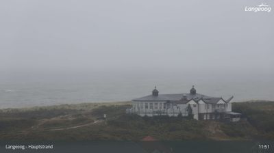



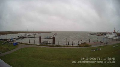
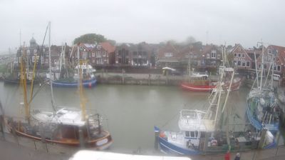


Langeoog sits between the North Sea and the Wadden Sea in Lower Saxony, where tidal flats, salt marshes and dunes shape one of Europe’s great coastal environments. This East Frisian island forms part of the UNESCO-listed Wadden Sea, a landscape repeatedly transformed by the tides. A broad beach faces the open sea, while mudflats emerge along the sheltered southern shore. Langeoog is largely car-free; bicycles and the Langeoog Island Railway connect the harbour with the village. Its water tower remains a familiar local landmark. View additional webcams nearby to better understand how Langeoog relates to its North Sea and Wadden Sea surroundings.
3 webcams
Lower Saxony extends from the North Sea coast to the Harz Mountains, encompassing Wadden Sea mudflats, broad lowlands and wooded uplands. At its northern edge, the Lower Saxon Wadden Sea forms part of the UNESCO-listed Wadden Sea, shaped twice daily by the tides. The Weser crosses the state on its way to the North Sea, while the Elbe marks much of its northeastern border. Inland, the Lüneburg Heath is associated with heather moorland and long-standing sheep farming. Hanover, the state capital, is known for the Herrenhausen Gardens, whose Great Garden is a major baroque ensemble. Explore further webcams across Lower Saxony to place the region in its wider geographic context.
189 webcams
Germany stretches from the North Sea and Baltic Sea coasts to the Alps on its southern border, encompassing northern plains, river valleys and forested uplands. The Rhine, Danube and Elbe have long connected its regions, while the Black Forest and Bavarian Alps give the south a more dramatic relief. Berlin’s Brandenburg Gate and Museum Island reflect the capital’s role in German history and culture. Cologne Cathedral, a UNESCO World Heritage Site, rises above the Rhine, and the Bauhaus movement, founded in Weimar in 1919, transformed modern design far beyond Germany. Regional cooking, Christmas markets and brewing traditions bring further character to daily life. Browse additional webcams from the surrounding area to extend your view of Germany.
2.5K webcams