 Lady Barron: YLDB -> North-East
Lady Barron occupies a low coastal plain at the southern end of Flinders Island, in Tasmania’s Bass Strait. The settlement lies beside Franklin Sound, the channel separating Flinders Island from the smaller islands of the Furneaux Group, an archipelago of more than 50 islands. Lady Barron is an important local port, connecting the island community with sea transport and the waters around Tasmania’s north-eastern offshore islands. Flinders Island, the group’s largest island, takes its European name from navigator Matthew Flinders, who explored Bass Strait in 1798. The nearby airport and open grazing country reflect the practical, sparsely settled character of the island’s south.
Generated by AI

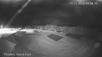


Lady Barron occupies the shore of Franklin Sound in Tasmania’s Furneaux Group, and its position at Flinders Island’s southern end has made it a practical port for the island. The sound separates Flinders Island from Cape Barren Island, placing the settlement amid the Bass Strait islands rather than on Tasmania’s main island. Fishing boats and coastal shipping remain part of the town’s identity, while the nearby coast is marked by beaches, granite headlands and changeable maritime weather. The Furneaux Group also holds deep and continuing significance for Tasmanian Aboriginal people. Find related webcams across Flinders Island and the Furneaux Group to build a fuller picture of this Bass Strait region.
2 webcams
Among Australia’s regions, Tasmania stands out for its island setting south of Bass Strait and its large tracts of protected wilderness. Rugged mountain country, temperate rainforest and a deeply indented coastline give the state a character distinct from mainland Australia. Cradle Mountain–Lake St Clair National Park forms part of the Tasmanian Wilderness World Heritage Area, while Lake St Clair lies among the Central Highlands. On the Tasman Peninsula, Port Arthur preserves one of Australia’s best-known former convict settlements and is included in the UNESCO-listed Australian Convict Sites. Trace Tasmania’s place between Bass Strait and the Southern Ocean by browsing webcams nearby.
80 webcams
Australia’s terrain extends from tropical rainforests in the northeast to arid plains in the interior, producing dramatic climatic contrasts. The Great Dividing Range follows much of the eastern coast, while the Great Barrier Reef lies off Queensland in the Coral Sea and Uluru rises from the central desert. Aboriginal and Torres Strait Islander peoples maintain living cultures whose connections to Country long predate European settlement. In Sydney, the sail-like Opera House, completed in 1973, stands beside one of the world’s best-known harbours. Discover further points of interest through webcams located across Australia.
1.7K webcams