 La Malbaie: Mont Grand-Fonds
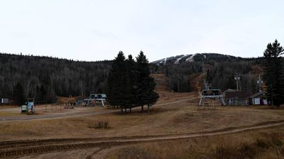
Tucked into the forested highlands of Charlevoix, Mont Grand-Fonds is a place whose character is shaped by the slopes of the Laurentian Mountains. Near La Malbaie in Quebec, this mountain is home to a ski centre, where cleared runs and lift lines cut through extensive woodland. Its summit reaches 735 metres, and the terrain belongs to the ancient uplands of the Canadian Shield rather than the St. Lawrence lowlands. Mont Grand-Fonds lies within the Charlevoix Biosphere Reserve, recognized by UNESCO in 1988. The wider Charlevoix region has long been shaped by forestry, farming and settlements along the St. Lawrence River.
Generated by AI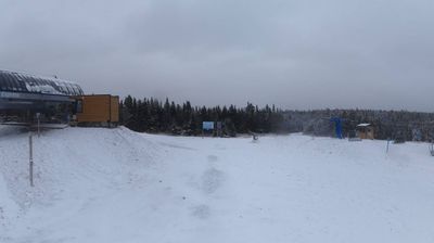

Few cities in Quebec have a history as closely tied to resort travel along the St. Lawrence River as La Malbaie. Set on the river’s broad estuary in Charlevoix, the town spreads from the waterfront at Pointe-au-Pic toward the wooded hills of the Malbaie River valley. Holidaymakers began arriving by steamer in the 19th century, and the railway later reinforced its place among Quebec’s established summer resorts. Fairmont Le Manoir Richelieu, rebuilt after a 1928 fire and reopened in 1929, remains the most recognizable expression of that tradition above the shore. La Malbaie also sits within the Charlevoix Biosphere Reserve, a UNESCO-designated area. Continue with other webcams from the area to see how this part of Charlevoix connects regionally.
2 webcams
Quebec has served as a French-speaking heartland within Canada since the 17th century. This vast province stretches from the St. Lawrence River valley to the subarctic north, and the coordinates here lie in its extensive Canadian Shield interior. Boreal forest, lakes, wetlands and rock outcrops shape this sparsely settled part of northern Quebec, where waterways are central to travel and seasonal life. French is Quebec’s official language, while Indigenous nations maintain enduring ties to territories across the province. Quebec City’s historic centre, founded in the early French colonial era, is a UNESCO World Heritage site. Browse additional webcams from the surrounding area to extend your view of northern Quebec.
59 webcams
Canada has served as a frontier between French and British colonial powers since the 17th century. The world’s second-largest country extends from Atlantic shores to the Pacific and Arctic coasts, with the Canadian Shield, the Rocky Mountains, the Great Lakes and the St. Lawrence River shaping its vast geography. First Nations, Inuit and Métis peoples are central to Canada’s identity, while Ottawa’s Parliament Hill represents its federal political life. French remains the official language of Quebec, adding a distinct dimension to the country’s public culture. See how Canada connects across North America by browsing webcams in neighbouring regions.
3.5K webcams