 L'Aiguillon-la-Presqu'ile: La Faute-sur-Mer: Panoramique HD
Built around the dunes of a sandy Atlantic spit, La Faute-sur-Mer grew into a seaside community at the mouth of the Lay. The former commune occupies a narrow peninsula in southern Vendée, with the Atlantic Ocean on one side and the Lay estuary, a broad tidal waterway, on the other. Long beaches and dune systems define its open coast, while Pointe d’Arçay marks the peninsula’s southern end. La Faute-sur-Mer became part of the new commune of L’Aiguillon-la-Presqu’île in 2022, together with L’Aiguillon-sur-Mer. This low-lying shore lies on the edge of the Marais Poitevin, where tidal channels, wetlands and the sea meet.
Generated by AI
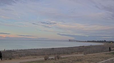
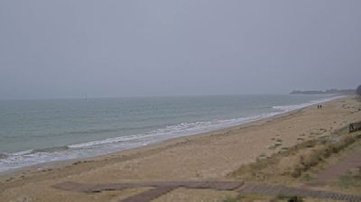

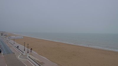

L'Aiguillon-la-Presqu'ile lies along the Lay estuary on France's Atlantic coast, where sandy shores, dunes and low-lying marshes meet the Bay of Aiguillon. Created in 2022, the municipality объединяет the former communes of L'Aiguillon-sur-Mer and La Faute-sur-Mer, whose names still identify settlements on either side of the estuary. The broad bay is shaped by the tides, with mudflats and salt marshes that provide important habitat for migratory and wintering birds. This is the southern Vendée coast: an open, maritime setting between the ocean and the wetlands of the Marais Poitevin. Browse other webcams across the Vendée and Pays de la Loire to place this setting in a wider geographic context.
2 webcams
The Loire River defines much of Pays de la Loire — its broad valley has long supported vineyards, market gardening and river towns. This western French region extends from the Atlantic coast to inland farmland and includes Nantes, Angers, Le Mans and the Vendée. In Angers, the medieval Château d’Angers holds the Apocalypse Tapestry, a major late-medieval work commissioned by Louis I, Duke of Anjou. Nantes developed as an important Loire port, while the river is also followed by the Loire à Vélo cycling route. Continue through nearby webcams to explore different parts of Pays de la Loire.
73 webcams
The Atlantic and Mediterranean coastlines, together with the Alps, Pyrenees and broad river basins, define much of France — they support maritime trade, farming, wine regions and travel throughout the year. The Seine runs through Paris, where the Eiffel Tower and the Louvre are among Europe’s most recognised landmarks. The Loire Valley is known for Renaissance châteaux, while Mont-Saint-Michel rises from a tidal bay in Normandy. Regional food traditions are equally distinctive, from Breton seafood to Provençal cooking, with bread, cheese and wine central to everyday life. France’s global cultural influence is evident in its language, literature, fashion and cinema. View additional webcams nearby to better understand how France’s coasts, plains and mountain borders relate to their surroundings.
1.8K webcams