 Kättilstorp: Göteborgsbacken Bårarp österut
The landscape around Kattilstorp is a rolling mosaic of woodland and farmland, which has shaped both the built environment and local life. The locality lies in the uplands southwest of Jönköping, where the Route 40 corridor crosses a settled rural edge rather than a dense urban centre. Forest belts, fields and scattered homes typify this part of Småland, close to the southern end of Lake Vättern. Jönköping became one of Sweden’s leading match-manufacturing centres in the 19th century, and its Match Museum preserves that industrial heritage. Kattilstorp is defined by the meeting of major road infrastructure and the wooded agricultural country around Jönköping.
Generated by AI


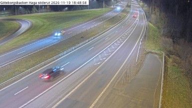
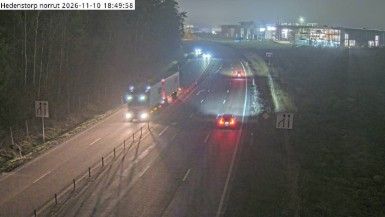
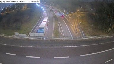
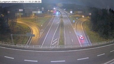


Kattilstorp has served as a parish settlement in Västergötland since the Middle Ages. Better known in Swedish as Kättilstorp, it lies in a gently rolling agricultural district southeast of Falköping, where fields and small woods shape the inland setting. Kättilstorp Church, a medieval stone church, is the locality’s principal historic landmark and recalls the long-established parish network of the Falbygden area. This part of Västra Götaland County marks a transition from the cultivated plains around Falköping toward the more wooded country in the direction of Ulricehamn. Explore additional webcams nearby to better understand how Kattilstorp relates to the farmland and woodland of Västergötland.
6 webcams
Västra Götaland County has served as an administrative region within Sweden since 1998. It brings together the historic provinces of Västergötland, Bohuslän and Dalsland, extending from the Skagerrak coast to the shores of Lake Vänern, Sweden’s largest lake. Gothenburg, Sweden’s second-largest city, is its urban centre and a major port on the Göta älv. Along the coast, the Bohuslän archipelago is defined by granite islands and fishing communities, while inland waterways around Trollhättan connect Vänern with the west coast. Läckö Castle, on the shore of Vänern, recalls the region’s early-modern aristocratic past. Trace Västra Götaland County’s place in western Sweden by browsing webcams across the region.
399 webcams
Sweden combines Baltic coastal life with Arctic expanses in a way that reflects its position within northern Europe. Forests, lakes and long shorelines define much of the country, from Lake Vänern in the south to the Gulf of Bothnia and the mountains along the Norwegian border. Stockholm spreads across islands where Lake Mälaren meets the Baltic Sea, while the preserved 17th-century warship at the Vasa Museum recalls Sweden’s era as a major European power. Midsummer celebrations and the traditions of the Sámi people add further depth to its regional identity. Browse other webcams across Sweden to place this setting in a wider geographic context.
987 webcams