 Kucukbalikli Mahallesi: Akom
Few places in the Marmara region have a history as closely tied to the rise of the Ottoman state as Bursa. Conquered by the Ottomans in 1326, it became their first major capital and developed as an important centre of the silk trade. Bursa lies on the northern foothills of Uludağ, while its broad urban plain has grown into one of Turkey’s principal industrial centres. AKOM, the city’s disaster-coordination centre, belongs to the contemporary civic infrastructure of this expanding metropolis. The historic core retains major Ottoman monuments, including the Ulu Cami, built between 1396 and 1399, and the Koza Han, once a hub for the silk trade. Roads and large civic buildings around AKOM reflect another side of Bursa: its role as a modern regional city.
Generated by AI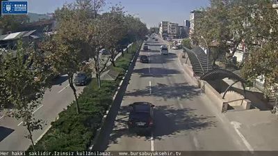
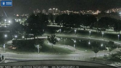

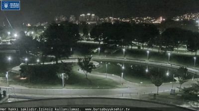
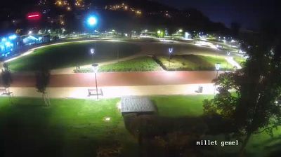

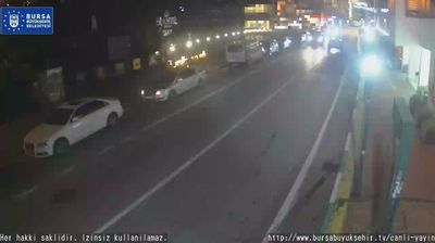
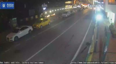

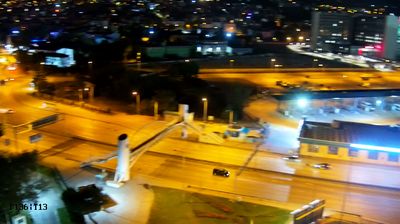

Küçükbalıklı Mahallesi combines a residential rhythm with the bustle of Bursa’s expanding urban fabric in a way that reflects its position on the Bursa Plain below Uludağ. On the city’s northwestern side, this neighbourhood forms part of a metropolitan area where established quarters meet industrial and commercial districts. Bursa became the first major capital of the Ottoman state after its conquest in 1326, and its historic centre retains monuments from that formative period. The Grand Mosque, completed in 1400, is among its defining Ottoman buildings, marked by twenty domes. Uludağ rises south of the city, while the Sea of Marmara lies beyond Bursa’s northern outskirts. Move on to other webcams in Bursa to compare urban settings around Uludağ and the Marmara region.
1 webcam
Built around trade routes on the northern foothills of Uludağ, Bursa grew into one of northwestern Turkey’s largest cities. It became the first major capital of the Ottoman state after its conquest in 1326, and early Ottoman monuments still define its character. The UNESCO-listed Bursa and Cumalıkızık ensemble includes the Grand Mosque, Green Mosque and Green Tomb, while historic baths recall the city’s long use of thermal springs. Uludağ rises directly south of the urban districts, providing a setting for winter sports and forest excursions. Move on to other webcams in the region to compare city streets, thermal quarters and mountain settings around Bursa and Uludağ.
12 webcams
Turkey stretches from the Black Sea coast to the Mediterranean shore, encompassing the Anatolian Plateau, rugged mountain belts and the indented Aegean coastline. The Bosporus divides Istanbul between Europe and Asia, while historic districts hold landmarks including Hagia Sophia and the Blue Mosque. Inland, Cappadocia is known for valleys formed in soft volcanic rock and for rock-cut churches; farther west, the ruins of Ephesus recall the country’s place in the classical world. Regional character also defines Turkish cuisine, from Aegean olive-oil dishes to tea served throughout daily life. Continue with other webcams from the area to see how this part of Anatolia and the eastern Mediterranean connects regionally.
63 webcams