 Krems in Karnten: VK_A10_125,842-FQ-LKW
Krems in Kärnten occupies the upper Lieser valley in northwestern Carinthia. This dispersed Alpine municipality includes the settlements of Eisentratten, Innerkrems and Kremsbrücke, set among heavily wooded slopes and high ground on the edge of the Nockberge. The Tauern Autobahn (A10) runs through the valley, forming one of Austria’s principal north–south Alpine road corridors between Salzburg and Villach. Krems in Kärnten is therefore shaped by mountain settlement, forestry and through traffic. Innerkrems developed around mining and is now known as a mountain resort.
Generated by AI


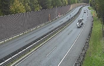

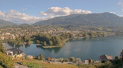

The landscape around Krems in Kärnten is a mosaic of alpine valleys, forested slopes and high pastures, which has shaped both the scattered settlement pattern and local economy. The municipality occupies part of the upper Lieser valley in northern Carinthia, where the Kremsbach joins the Lieser near Kremsbrücke. Its hamlets include Innerkrems, a mountain settlement beneath the Nockberge, while Eisentratten lies lower in the valley. Forestry, farming and mountain tourism remain central to this sparsely settled area, whose roads lead towards the Nockberge and the Hohe Tauern. Continue with other webcams from the area to see how this part of Carinthia connects regionally.
6 webcams
Carinthia is best known within Austria for its warm Alpine lakes, especially Lake Wörthersee. Austria’s southernmost province lies along the eastern Alps, where the Drava River runs through broad valleys below mountain slopes. Lake Millstatt and Lake Ossiach provide further waterside focal points, while the rounded Nock Mountains shape much of the interior. Klagenfurt, the provincial capital, is recognised for the Lindwurm fountain on Neuer Platz, a long-standing symbol of the city. Discover other points of interest through webcams located across Carinthia.
293 webcams
Austria stretches from the Bohemian Massif along its northern edge to the Carnic Alps on the Italian border, encompassing high Alpine ranges and the Danube lowlands. The Danube links cities including Linz and Vienna, while the Grossglockner, at 3,798 metres, is the country’s highest mountain. Vienna developed for centuries as the seat of the Habsburg court, leaving imperial architecture around the Hofburg and Schönbrunn Palace. Salzburg is closely associated with Wolfgang Amadeus Mozart, who was born there in 1756. Alpine Tyrol, wine-growing areas east of Vienna and the lakes of Salzkammergut add markedly different regional identities. Browse other webcams across Austria to place this setting in a wider geographic context.
2.3K webcams