 Kotvrdovice: Letiště Tři sudy Kotvrdovice
Kotvrdovice has served as an agricultural settlement near the Moravian Karst since the Middle Ages. First documented in 1347, the municipality lies on the rolling uplands of the Drahanská vrchovina, north-east of Brno, where fields and small wooded strips shape the countryside. Letiště Tři sudy Kotvrdovice is a grass airfield set within this open farmland, linking the village with recreational aviation. Its Czech name, meaning “Three Barrels,” gives the site a distinctly local identity. Kotvrdovice remains a compact rural community on the edge of the karst region. Nearby, the Moravian Karst is known for its extensive cave systems and limestone formations, among South Moravia’s defining natural features.
Generated by AI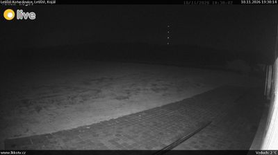
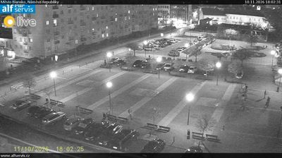
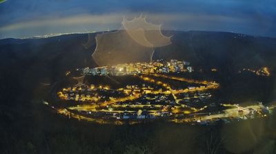

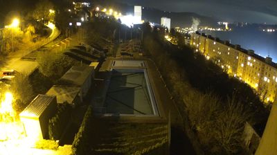
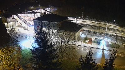

Tucked into the limestone uplands of the Moravian Karst in South Moravia, Kotvrdovice is a place whose character is shaped by the karst terrain beneath its fields and woodland. The village lies in the Blansko District, east of the better-known cave country around the Punkva River, where water has cut underground passages through Devonian limestone. Kotvrdovice remains a settled rural community rather than a resort, providing a sense of the inhabited side of this protected landscape. Its Church of Saints Cyril and Methodius reflects the enduring Christian and Moravian traditions of the area. Browse additional webcams from the surrounding area to extend your view of the Moravian Karst.
2 webcams
South Moravian Region has acted as a cultural crossroads within the Czech lands since the Middle Ages. Brno, Czechia’s second-largest city, is its urban centre, with Špilberk Castle recalling its long strategic role. The region extends across the warm lowlands of the Morava and Dyje rivers, where vineyards shape the countryside around Mikulov and Znojmo. To the north, the Moravian Karst is known for its limestone caves and the Macocha Abyss. The Lednice–Valtice Cultural Landscape, a UNESCO World Heritage Site, combines formal estates, follies and parkland near the Austrian border. Continue with other webcams from the area to see how this part of South Moravia connects regionally.
92 webcams
The terrain of Czechia ranges from fertile lowlands in southern Moravia to mountain ridges along the northern frontier, giving this Central European country a distinctly varied geography. The Vltava runs through Prague before joining the Elbe, while the Krkonoše form part of the border with Poland and include Sněžka, Czechia’s highest mountain. Prague’s historic centre, with Prague Castle and Charles Bridge, reflects the city’s long role as a political and cultural centre. Beyond the capital, Bohemia is known for spa towns and brewing, and Moravia for wine-growing traditions. View additional webcams nearby to better understand how Czechia relates to its Central European surroundings.
1.2K webcams