 Koto: 東京ディズニーランド 舞浜 旧江戸川
Koto is best known within Tokyo for its broad waterfront districts on Tokyo Bay. At the bay’s eastern edge, Shinonome and Ariake combine apartment towers, canals, expressways, warehouses and port-related land use, illustrating how Tokyo has extended onto reclaimed ground. The ward also reaches inland to the older Fukagawa quarter, a canal-side district long associated with Edo-period timber trade. Tomioka Hachimangu, founded in 1627, stands there as one of Fukagawa’s enduring religious landmarks. This mix of working waterfront, new housing and older neighbourhoods gives Koto a markedly different rhythm from central Tokyo’s tightly built commercial wards.
Generated by AI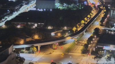
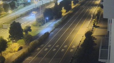
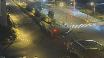
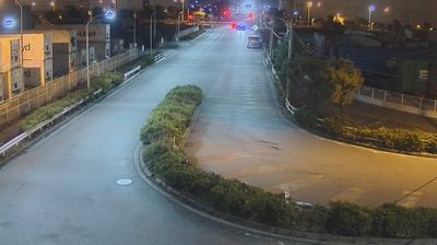

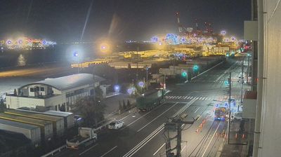
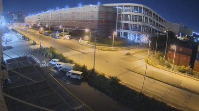
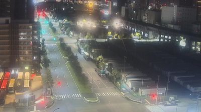

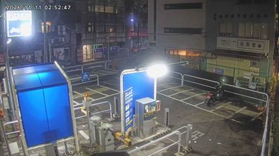

Among Tokyo’s wards, Koto stands out for the way its old canal districts meet a vast reclaimed waterfront on Tokyo Bay. The ward stretches from Fukagawa, a low-lying area shaped by waterways and Edo-period commerce, towards Toyosu, Ariake and other bayside districts built on reclaimed land. Tomioka Hachimangu, founded in 1627, remains one of Fukagawa’s important Shinto shrines and is associated with the annual Fukagawa Hachiman Festival. Elsewhere, Kiba Park houses the Museum of Contemporary Art Tokyo, while the waterfront has become a setting for markets, venues and high-rise neighbourhoods. Continue with other webcams from the area to see how this part of Tokyo connects regionally.
2 webcams
Tokyo stretches from the Okutama Mountains to the Izu and Ogasawara island groups, encompassing urban lowlands, forested uplands and volcanic Pacific islands. These coordinates fall on Izu Oshima, the largest of the Izu Islands, where Mount Mihara forms the island’s volcanic core. Black-sand shores and lava terrain contrast with the capital’s built-up centre, showing how far Tokyo’s administrative territory reaches into the ocean. Izu Oshima is closely associated with camellias, and Oshima Tsubaki oil remains a recognised local product. Ferry links from the mainland make the island part of Tokyo’s wider maritime setting. See how Tokyo connects mainland Japan with its Pacific islands by browsing webcams nearby.
212 webcams
Among the countries of East Asia, Japan stands out for its volcanic archipelago, stretching from the cool north of Hokkaido to subtropical Okinawa. Mount Fuji, the nation’s highest mountain, rises above central Honshu, while the Pacific Ocean and the Seto Inland Sea have long shaped settlement, fishing and travel. Tokyo pairs dense urban life with major museums and neighbourhood traditions; Kyoto preserves temples, gardens and the legacy of Japan’s imperial court. Seasonal customs give journeys a changing rhythm, from spring cherry blossom viewing to autumn leaves. Regional cooking is equally varied, with sushi, ramen and local specialties reflecting coastlines, climate and agriculture. Explore nearby webcam locations that provide complementary perspectives on Japan’s islands, cities and mountain regions.
1.3K webcams