 Kitahiroshima
 combines commuter-city convenience with a low-rise, wooded setting in a way that reflects its position on the Ishikari Plain between Sapporo and Chitose. The Chitose Line runs through the city, placing it on the principal rail corridor towards New Chitose Airport and southern Hokkaido. Residential streets and railway structures meet the gentle, forested terrain typical of this edge of the plain rather than a dense metropolitan core. Kitahiroshima became a city in 1996 after developing from Hiroshima Village, a settlement founded by migrants from Hiroshima Prefecture in the 1880s. That origin explains a name easily confused with the better-known city in western Japan.
Generated by AI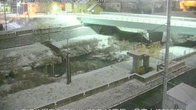
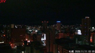

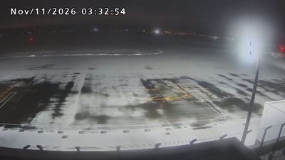

Within Hokkaido Prefecture’s cities, Kitahiroshima is distinguished by Hokkaido Ballpark F Village, the sports-and-entertainment district centred on ES CON Field Hokkaido. Opened in 2023, its retractable-roof ballpark is home to the Hokkaido Nippon-Ham Fighters and has made the city a major destination for baseball fans. Kitahiroshima stands on the eastern side of the Ishikari Plain, southeast of Sapporo, where urban development meets Hokkaido’s broad agricultural lowlands. Its name recalls Hiroshima Village, founded in 1884 by settlers from Hiroshima Prefecture; the municipality became a city in 1996. Continue with other webcams from the area to see how this part of Hokkaido connects regionally.
1 webcam
Volcanic mountains and broad agricultural plains define much of Hokkaido Prefecture, shaping an economy known for dairy farming, grain production and seasonal tourism. In the island’s centre, the Daisetsuzan volcanic group rises above forests and open highlands, while the Furano area is associated with lavender fields and farming country. Hokkaido is also the ancestral homeland of the Ainu, whose distinct language, crafts and traditions remain an essential part of Japan’s cultural heritage. Long snowy winters have made the prefecture a major destination for skiing, while summer brings cooler conditions than much of Japan. Discover further points of interest through webcams across Hokkaido Prefecture.
91 webcams
Among the countries of East Asia, Japan stands out for its volcanic archipelago, stretching from the cool north of Hokkaido to subtropical Okinawa. Mount Fuji, the nation’s highest mountain, rises above central Honshu, while the Pacific Ocean and the Seto Inland Sea have long shaped settlement, fishing and travel. Tokyo pairs dense urban life with major museums and neighbourhood traditions; Kyoto preserves temples, gardens and the legacy of Japan’s imperial court. Seasonal customs give journeys a changing rhythm, from spring cherry blossom viewing to autumn leaves. Regional cooking is equally varied, with sushi, ramen and local specialties reflecting coastlines, climate and agriculture. Explore nearby webcam locations that provide complementary perspectives on Japan’s islands, cities and mountain regions.
1.3K webcams