 Kita
Tucked along the Arakawa River, Kita is a place whose character is shaped by a broad engineered waterway and its protective levees. At Iwabuchi, the Sumida River branches from the Arakawa, making this northern edge of Tokyo central to the capital’s flood-management system. The red Old Iwabuchi Sluice, known as Aka-sui-mon, was completed in 1924 to control the division of water; it remains a recognised local landmark beside newer gates. Paths on the embankments trace the river through a low-lying district of parks, housing and utility infrastructure. Away from the water, Kita includes Ōji, where Asukayama Park is associated with Edo-period cherry-tree planting encouraged by shogun Tokugawa Yoshimune.
Generated by AI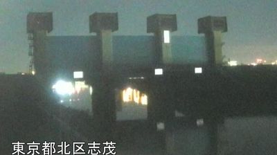
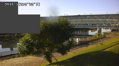
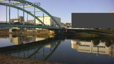

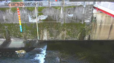

Kita occupies the transition between the Musashino Plateau and the Arakawa River lowlands in northern Tokyo. This special ward combines dense residential neighbourhoods with major rail interchanges at Akabane and Ōji, giving it a distinctly everyday metropolitan rhythm. The Arakawa forms an important open edge to the east, where embankments and riverside spaces interrupt the built-up city. At Asukayama Park, cherry trees planted under shogun Tokugawa Yoshimune made the hill a celebrated Edo-period outing; the nearby Paper Museum reflects Ōji’s long association with papermaking. Kita is also known for Ōji Inari Shrine and its annual fox parade. Find related webcams in the surrounding area to build a fuller picture of northern Tokyo.
2 webcams
Tokyo stretches from the Okutama Mountains to the Izu and Ogasawara island groups, encompassing urban lowlands, forested uplands and volcanic Pacific islands. These coordinates fall on Izu Oshima, the largest of the Izu Islands, where Mount Mihara forms the island’s volcanic core. Black-sand shores and lava terrain contrast with the capital’s built-up centre, showing how far Tokyo’s administrative territory reaches into the ocean. Izu Oshima is closely associated with camellias, and Oshima Tsubaki oil remains a recognised local product. Ferry links from the mainland make the island part of Tokyo’s wider maritime setting. See how Tokyo connects mainland Japan with its Pacific islands by browsing webcams nearby.
222 webcams
Among the countries of East Asia, Japan stands out for its volcanic archipelago, stretching from the cool north of Hokkaido to subtropical Okinawa. Mount Fuji, the nation’s highest mountain, rises above central Honshu, while the Pacific Ocean and the Seto Inland Sea have long shaped settlement, fishing and travel. Tokyo pairs dense urban life with major museums and neighbourhood traditions; Kyoto preserves temples, gardens and the legacy of Japan’s imperial court. Seasonal customs give journeys a changing rhythm, from spring cherry blossom viewing to autumn leaves. Regional cooking is equally varied, with sushi, ramen and local specialties reflecting coastlines, climate and agriculture. Explore nearby webcam locations that provide complementary perspectives on Japan’s islands, cities and mountain regions.
1.3K webcams