 Kislovodsk
 is best known within Russia for its narzan mineral springs. Set in the northern foothills of the Greater Caucasus in Stavropol Krai, the city developed as a health resort around naturally carbonated mineral water. A fortress founded here in 1803 marked the settlement's beginnings; the resort expanded through the 19th century as the Caucasian Mineral Waters gained prominence. The Narzan Gallery remains a landmark of the spa tradition, while Kurortny Boulevard concentrates many of the town's historic resort buildings. Kislovodsk National Park spreads across slopes and ravines above the centre, linking formal promenades, walking paths and wooded terrain.
Generated by AI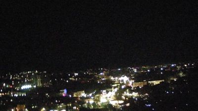
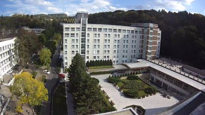

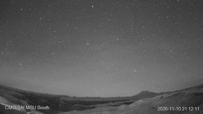

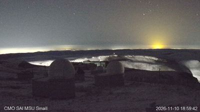
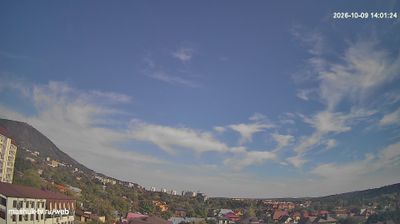
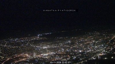
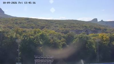

Kislovodsk lies on the Olkhovka River in Russia’s Stavropol Krai, where the northern foothills of the Greater Caucasus create a sheltered highland setting. The resort developed around its naturally carbonated Narzan mineral springs, whose name is closely tied to the city itself. Kislovodsk National Park extends from the central spa quarter into wooded slopes, crossed by walking paths and the celebrated terrenkur health routes. Founded around a Russian fortress established in 1803, the town later became one of the principal spa centres of the Caucasian Mineral Waters region. The 19th-century Narzan Gallery remains a focal point for sampling the local waters. Browse other webcams across Stavropol Krai to place Kislovodsk in a wider geographic context.
3 webcams
Stavropol Krai stretches from the northern foothills of the Greater Caucasus to the Kuma–Manych Depression, encompassing open steppe, rolling uplands, and mineral-spring country in the south. The Kuma River crosses the krai on its course toward the Caspian basin, while Pyatigorsk, Kislovodsk, Yessentuki, and Zheleznovodsk form the renowned Caucasian Mineral Waters area. Their springs have sustained a long-established Russian spa tradition, and Mount Beshtau is a prominent landmark near Pyatigorsk. Beyond the resort belt, grain farming and wide horizons give the region a distinctly continental character. View additional webcams nearby to better understand how Stavropol Krai relates to the Caucasus foothills and the southern Russian steppe.
8 webcams
Russia has served as a major power between Europe and Asia since the 16th century. Its territory crosses eleven time zones, extending from the Baltic coast and the East European Plain over the Ural Mountains to the Pacific. The Volga, Europe’s longest river, runs through a core of historic Russian settlement, while Lake Baikal in Siberia is the world’s deepest lake. Moscow’s Kremlin and Red Square stand at the centre of the capital’s political and architectural heritage; Saint Petersburg’s Hermitage Museum occupies the Winter Palace. Orthodox churches, Russian-language literature, ballet and long-distance rail travel remain familiar reference points in a country of immense regional contrasts. Continue with other webcams from Russia to see how this part of northern Eurasia connects regionally.
460 webcams