 Kirchham: Flugplatz Wels
Kirchham straddles a low, gently rolling ridge in Upper Austria’s Alpine Foreland, and its open terrain has left the area dominated by fields and scattered farmsteads. Wels Airport brings a practical aviation role to this rural setting, with paved facilities for light aircraft and gliding. The airfield belongs to the wider Wels area, centred on a city that developed from Ovilava, an important settlement in Roman Noricum. Cultivated land alongside local aviation infrastructure gives Kirchham a markedly different character from the denser urban fabric of Wels.
Generated by AI



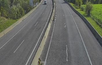

Kirchham has served as a parish settlement in Upper Austria since the Middle Ages and was first documented in 1092 as Chirihheim. The municipality lies in the gently rolling Upper Austrian Alpine foreland, where farmland, small woodland areas and dispersed hamlets form a transition toward the Salzkammergut. Its parish church remains a focal point of the local settlement, while the surrounding countryside reflects a longstanding agricultural character. Kirchham belongs to Gmunden District, a part of Upper Austria associated with the northern fringe of the Alps. View additional webcams nearby to better understand how Kirchham relates to the Upper Austrian Alpine foreland and Salzkammergut.
1 webcam
Formed around the Danube and Enns corridors, Upper Austria developed into one of Austria’s nine federal states. Linz, its capital on the Danube, combines a major industrial tradition with cultural institutions including the Ars Electronica Center. North of the river, the Mühlviertel rolls towards the Czech border; southward, the terrain rises into the Alpine foothills and the lake country of the Salzkammergut. Hallstatt, beside Hallstätter See, is among the region’s best-known historic settlements and lends its name to the Hallstatt period of early Iron Age Europe. Browse additional webcams from the surrounding area to extend your view of Upper Austria.
341 webcams
Austria stretches from the Bohemian Massif along its northern edge to the Carnic Alps on the Italian border, encompassing high Alpine ranges and the Danube lowlands. The Danube links cities including Linz and Vienna, while the Grossglockner, at 3,798 metres, is the country’s highest mountain. Vienna developed for centuries as the seat of the Habsburg court, leaving imperial architecture around the Hofburg and Schönbrunn Palace. Salzburg is closely associated with Wolfgang Amadeus Mozart, who was born there in 1756. Alpine Tyrol, wine-growing areas east of Vienna and the lakes of Salzkammergut add markedly different regional identities. Browse other webcams across Austria to place this setting in a wider geographic context.
2.9K webcams