 Kaupanger: Haukåsen
Sognefjord defines the setting of Kaupanger — on its northern shore, near the meeting of Sogndalsfjorden and the main fjord, settlement gives way quickly to wooded slopes and higher uplands. The community’s name comes from the Old Norse kaupangr, meaning marketplace, reflecting its role as a trading site in the Middle Ages. Kaupanger Stave Church, built around 1180, is a key expression of Norway’s medieval timber tradition. Its interior is supported by 22 staves, the upright posts that gave this distinctive church type its name. Forest, exposed rock and winding upland roads beyond the waterfront place Kaupanger firmly in the fjord-and-mountain geography of Sogn. Roads connect the settlement with Sogndal and other communities around the inner fjord.
Generated by AI




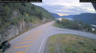
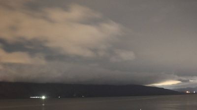

Kaupanger has served as a trading centre on the Sognefjord in Vestland since the Viking Age. Its Old Norse name means marketplace, reflecting its long-established role in exchange along Norway’s longest fjord. The settlement lies beside the Sogndalsfjorden, an arm of the Sognefjord, amid steep fjord country where woodland and farms meet the water. Kaupanger Stave Church, built around 1180, survives as an important example of medieval wooden church architecture and has 22 internal staves. The village remains a useful point for understanding the maritime routes and rural communities of Sogn. View additional webcams nearby to better understand how Kaupanger and the Sognefjord relate to their surroundings.
5 webcams
Among the regions of Norway, Vestland stands out for fjords that cut deep into a coast backed by high mountains. Sognefjord, Norway’s longest and deepest fjord, reaches far inland, while Hardangerfjord is closely associated with orchards and spring blossom. The county extends from wave-battered islands and sheltered coastal communities to valleys, waterfalls and upland terrain. Bergen, Vestland’s largest city, developed as a Hanseatic trading centre; its wooden Bryggen wharf is a UNESCO World Heritage site. Maritime life, mountain routes and farming communities meet here. Browse other webcams across Vestland to place this fjord country in a wider geographic context.
234 webcams
Norway has served as a seafaring link between the North Atlantic and northern Europe since the Viking Age. Its long coastline is cut by fjords, while the Lofoten archipelago rises sharply from the Norwegian Sea and the mountains of Jotunheimen include Galdhøpiggen, Norway’s highest peak. Bergen’s Bryggen, the former Hanseatic wharf, recalls centuries of maritime trade. Farther north, Sámi culture remains an essential part of the country’s identity. Explore nearby webcam locations that provide complementary perspectives on Norway’s coast, fjords and mountain regions.
1.5K webcams