 Kauhava: Tie 19 - Lapualle
Kauhava occupies a broad, low-lying stretch of the Ostrobothnian Plain in South Ostrobothnia, western Finland. Fields, drainage ditches and scattered farmsteads define much of the municipality, whose settlements spread across open terrain rather than a dense urban core. National Road 19 is an important north–south route through the area, linking Kauhava with Seinäjoki and the coastal town of Nykarleby. Kauhava is closely associated with the Finnish puukko knife: local makers helped establish the town as a recognised centre of this traditional utility blade. The municipality also includes the former municipalities of Alahärmä and Ylihärmä, bringing several rural communities under the Kauhava name. Its setting reflects the working countryside characteristic of Ostrobothnia.
Generated by AI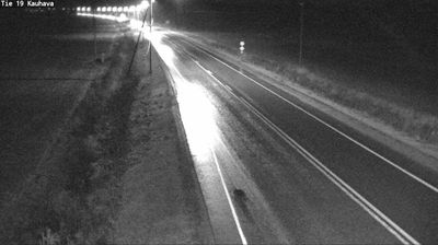
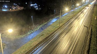
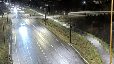
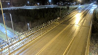
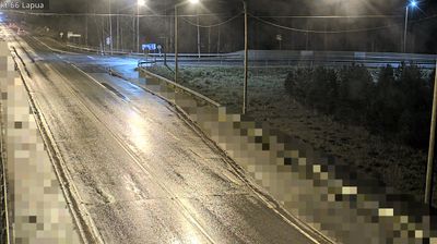
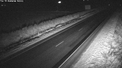
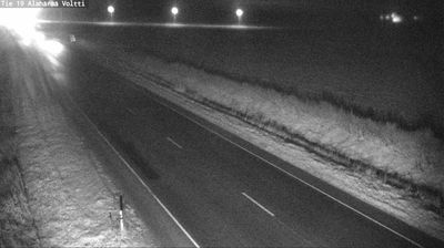

Kauhava extends along the Kauhavanjoki River in the broad plains of western Finland, where level, cultivated surroundings have long tied the town to rural Ostrobothnia. It is closely associated with the puukko, the traditional Finnish utility knife, and local knife makers established Kauhava as an important centre of the craft. The former Kauhava Airfield also reflects a long aviation connection: the Finnish Air Force Academy was based here until 2014. The municipality includes Alahärmä, home to the PowerPark amusement resort. Discover other points of interest through webcams located across Kauhava and mainland Finland.
4 webcams
South Ostrobothnia stretches from the Suomenselkä uplands in the east to the low plains beside Ostrobothnia in the west, encompassing broad cultivated river valleys and forested interior country. The region is shaped by the Kyrönjoki and Lapuanjoki rivers, whose floodplains have long supported farming and settlement. Seinäjoki, the regional centre, is known for the Aalto Centre, a civic ensemble designed by Finnish architect Alvar Aalto. Open fields, timbered farmsteads and large skies give this part of western Finland a distinctly spacious character. Browse other webcams across South Ostrobothnia to place this setting in a wider geographic context.
55 webcams
The terrain of Finland ranges from low coastal plains along the Gulf of Bothnia to fells in Lapland, creating a country of forests, lakes and long northern distances. More than 180,000 lakes shape everyday life, while the Lakeland region is threaded with waterways and islands. Helsinki, on the Gulf of Finland, combines neoclassical landmarks around Senate Square with contemporary Finnish design. Farther north, the Sámi are Finland’s only recognised Indigenous people, and their culture remains closely connected to the Arctic region. In winter, snow and ice transform the north; in summer, long daylight extends outdoor life well into the evening. Continue through nearby webcams to explore different parts of Finland.
1.7K webcams