 Kasane: Chobe River
Kasane has served as a river settlement in Botswana’s Chobe District since the early 20th century. It stands on the south bank of the Chobe River, close to its confluence with the Zambezi, near the point where Botswana, Namibia, Zambia and Zimbabwe meet. Broad channels, islands and floodplain form part of a major wildlife corridor and the northern boundary of Chobe National Park, established in 1967 as Botswana’s first national park. Kasane is the main service town for boat safaris and road access to the park, whose Chobe riverfront is known for large elephant herds. The nearby Kazungula crossing links Botswana with Zambia across the Zambezi.
Generated by AI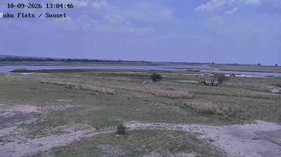

Few towns in Chobe District have a history as closely tied to wildlife conservation as Kasane. On Botswana’s northeastern edge, the town stands beside the Chobe River, close to the meeting point of Botswana, Namibia, Zambia and Zimbabwe. It is the administrative centre of Chobe District and the principal settlement beside Chobe National Park, established in 1967 as Botswana’s first national park. The park’s riverfront supports large concentrations of elephants, while boat trips on the Chobe are a defining way to encounter the area’s floodplain and wildlife. Kasane is also a practical base for travelling between the park and the wider four-country borderland. Continue with other webcams from the area to see how this part of Chobe District connects regionally.
1 webcam
Chobe District stretches from the Chobe River in the north to the drier Kalahari interior in the south, encompassing riverine floodplains, mopane woodland and sandy savanna. Along the Namibian border, the Chobe River supplies a permanent ribbon of water that draws wildlife to its banks; farther south, seasonal channels and broad, dusty plains set a markedly different rhythm. Chobe National Park, established in 1967, protects much of this environment and is strongly associated with Botswana’s large elephant populations. Kasane, the district’s administrative centre, is the main town and a base for travel across the north. Continue through nearby webcams to explore different parts of Chobe District.
1 webcam
Botswana occupies a landlocked plateau in southern Africa. Much of the country lies within the Kalahari, while the Okavango Delta forms a vast inland wetland fed by seasonal waters from Angola. The Chobe River supports one of Africa’s major elephant populations, and the Makgadikgadi Pans create immense salt flats in the northeast. Botswana gained independence in 1966 and has maintained a strong identity through Setswana traditions alongside its diverse communities. Gaborone, the capital, is the country’s administrative and commercial centre. Browse additional webcams from the surrounding area to extend your view of Botswana’s wetlands and savannahs.
2 webcams