 Kansas City: I-435 S @ at TRUMAN RD
Kansas City lies along the Missouri River, where a broad Midwestern urban area spreads across rolling ground on Missouri’s western border. The Missouri side forms part of a bi-state metropolis shared with Kansas, shaped by railroads, freight routes and highways as well as older riverfront neighborhoods. The area around the I-435 and Truman Road interchange reflects that connective infrastructure: multilane corridors meet commercial parcels, wooded slopes and open roadside land. Downtown Kansas City is northwest of here, while the historic 18th & Vine district recalls the city’s major role in the development of jazz through the American Jazz Museum and the Negro Leagues Baseball Museum. Kansas City barbecue, traditionally slow-smoked and served with tomato-based sauce, is another defining local tradition.
Generated by AI
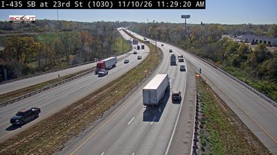

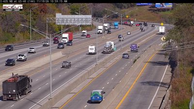


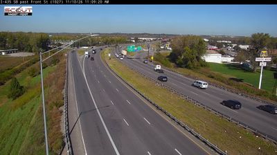
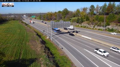
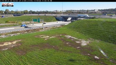
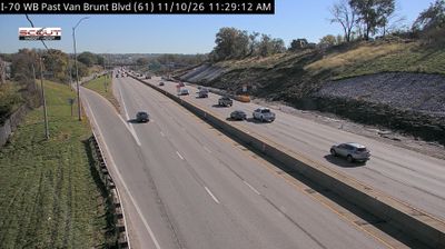

Kansas City straddles the Missouri River in western Missouri, a position that established it as an important transport, trading and rail centre. The riverfront sits near the meeting point of the Missouri and Kansas rivers, while the city’s broad urban area extends across the state line into Kansas. Downtown combines early 20th-century civic architecture with contemporary arts venues, and Union Station, opened in 1914, remains a defining landmark. Kansas City’s 18th & Vine district is closely associated with the development of jazz, celebrated at the American Jazz Museum. Explore nearby webcam locations that provide complementary perspectives on Kansas City and western Missouri.
105 webcams
Among the regions of the United States, Missouri stands out for the Missouri River, which gives the state its name and crosses its broad central corridor. The Mississippi forms much of the eastern border, while the forested Ozark Plateau shapes the south and rolling plains extend across the north. Near these coordinates, Columbia is home to the University of Missouri, founded in 1839 and the state’s flagship public university. The nearby Katy Trail State Park follows a former railroad route along the Missouri River, linking small river towns and farmland. Missouri’s cities also carry distinct musical and migration histories, from Kansas City jazz to St. Louis’s riverfront role. Browse additional webcams from central Missouri to extend your view of the Missouri River country.
199 webcams
The Atlantic, Pacific and Gulf coasts define much of the United States — their ports, fisheries and trade routes have long tied the country’s economy to the wider world. Between them, the Rocky Mountains, Great Plains and Mississippi River basin form sharply different regions, from high western ranges to broad agricultural heartlands. Cities carry much of the national story: New York’s Statue of Liberty, a gift from France dedicated in 1886, remains an enduring symbol, while Washington, DC concentrates major federal institutions. Indigenous nations have shaped these lands for millennia, and their living cultures remain essential to the country’s identity. Find related webcams in the surrounding areas to build a fuller picture of the United States.
32K webcams