 Kannus: Tie 28 Eskola - Nivalaan
Kannus has served as a municipal centre in Central Ostrobothnia since 1867. Set in western Finland’s low-lying river country, the town extends along the Lestijoki, whose basin has long supported farming and settlement. The surrounding landscape is defined by fields, managed forest and scattered homesteads rather than dense urban fabric. Kannus gained town status in 1986, yet its scale remains closely tied to rural services, local commerce and transport. National Road 28 crosses the municipality, and the Ostrobothnia Railway gives Kannus a station on Finland’s principal north–south rail corridor. Broad roads and working countryside introduce the quieter, everyday character of western Finland.
Generated by AI
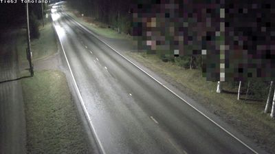
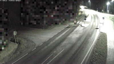


Tucked along the Lestijoki River on the open Ostrobothnian plain of western Finland, Kannus is a place whose character is shaped by the river and the broad, low-lying countryside around it. The town belongs to Central Ostrobothnia, where farmland, forests and waterways extend toward the Gulf of Bothnia. Kannus is served by the Ostrobothnian Railway, Finland’s principal north–south rail line on the western side of the country; the connection has linked the community with larger Finnish cities since the late 19th century. The Lestijoki provides a clear local axis, while the surrounding rural setting brings a slower rhythm than Finland’s major urban centres. Move on to other webcams in the region to compare river valleys, rail towns and coastal plains around Central Ostrobothnia.
3 webcams
The terrain of Central Ostrobothnia ranges from low, open coastal plains in the west to forests and peatlands in the eastern interior, creating broad horizons and a spacious, level character. On the Gulf of Bothnia, Kokkola combines an active port with Neristan, a preserved district of historic wooden houses. The Perho River runs across the region towards the coast. Further inland, Kaustinen is internationally known for its fiddle-playing traditions, added to UNESCO’s Representative List of the Intangible Cultural Heritage of Humanity in 2021. Explore nearby webcam locations that provide complementary perspectives on Central Ostrobothnia and the Gulf of Bothnia coast.
22 webcams
The terrain of Finland ranges from low coastal plains along the Gulf of Bothnia to fells in Lapland, creating a country of forests, lakes and long northern distances. More than 180,000 lakes shape everyday life, while the Lakeland region is threaded with waterways and islands. Helsinki, on the Gulf of Finland, combines neoclassical landmarks around Senate Square with contemporary Finnish design. Farther north, the Sámi are Finland’s only recognised Indigenous people, and their culture remains closely connected to the Arctic region. In winter, snow and ice transform the north; in summer, long daylight extends outdoor life well into the evening. Continue through nearby webcams to explore different parts of Finland.
1.7K webcams