 Kamiensk
Kamieńsk has served as a small market town in central Poland since the late Middle Ages. Granted town rights in 1374, it later lost them in 1870 and regained them in 1994, a history shared by many settlements in this part of Poland. The town stands in the gently undulating, largely agricultural landscape of Łódź Voivodeship, where low-rise homes, shops and public buildings gather along local streets. Kamieńsk lies on the historic Warsaw–Vienna railway corridor, an important north–south route through the country. Its compact centre and broad horizon give it the direct, working-town character typical of the Radomsko area.
Generated by AI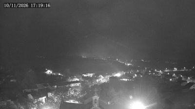
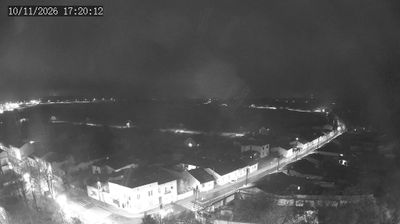
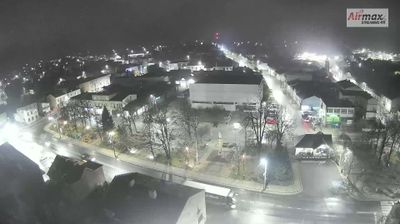
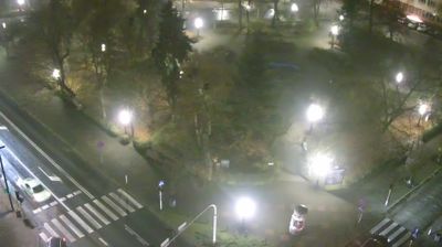
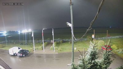
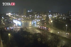
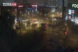
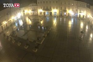
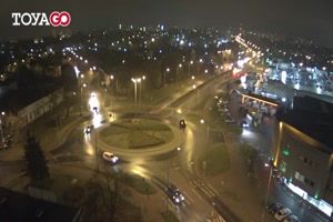
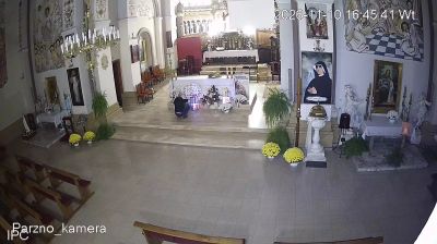

Góra Kamieńsk defines the setting of Kamieńsk — built from overburden from the nearby Bełchatów lignite mine, this man-made hill rises above central Poland’s level fields and supports both winter sport and wind energy. The town stands on the important rail route between Warsaw and Katowice, linking it to a long-established north–south transport corridor. Its parish church of Saints Peter and Paul provides a local cultural landmark, while the compact centre retains the everyday scale of a small town in Łódź Voivodeship. Continue with other webcams from the area to see how this part of Łódź Voivodeship connects regionally.
4 webcams
Łódź Voivodeship combines an industrial legacy with broad lowland countryside in a way that reflects its position in central Poland. Its capital, Łódź, expanded rapidly as a textile-manufacturing centre in the 19th century, and former mill buildings remain an important part of its urban identity. The revitalised Manufaktura complex is a prominent example of this heritage. Beyond the city, the Warta and Pilica rivers run through a region of fields, woodland and smaller towns. Piotrkowska Street, one of Łódź’s defining thoroughfares, remains central to city life. Find related webcams across central Poland to build a fuller picture of Łódź Voivodeship.
57 webcams
Poland stretches from the Baltic Sea coast in the north to the Carpathian Mountains along its southern frontier, encompassing broad lowlands, lake districts and upland ranges. The Vistula, the country’s longest river, links Kraków and Warsaw before reaching the Baltic near Gdańsk, while the Masurian Lake District is defined by a dense network of lakes. Kraków’s historic centre, including Wawel Castle, recalls Poland’s former royal capital; Warsaw’s rebuilt Old Town speaks to the city’s recovery after the Second World War. The Białowieża Forest preserves one of Europe’s last primeval lowland forests and is home to European bison. Follow how Poland’s regions relate to one another by browsing webcams across the country.
716 webcams