 Jimboomba: MacLean Bridge
Tucked along the Logan River in Queensland’s Logan–Beaudesert corridor, Maclean Bridge is a place whose character is shaped by the river’s broad, vegetated course. The bridge carries the Mount Lindesay Highway, an important north–south road linking Brisbane with Beaudesert and the Scenic Rim. The Logan River rises in the McPherson Range and forms a corridor of eucalypts and dense waterside growth through North Maclean. Jimboomba and neighbouring settlements have developed from a rural district into a fast-growing part of Logan City, while this crossing remains an everyday connection for local traffic. The area is on the traditional lands of the Yugambeh people, whose continuing connection to Country gives the river landscape cultural meaning.
Generated by AI

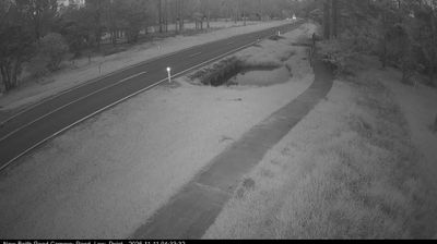

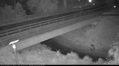


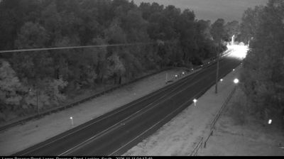


Jimboomba has served as a rural service centre in southeast Queensland since the late 19th century. Set in the Logan River valley, it lies within Logan City between Brisbane and the Scenic Rim, where former grazing and farming land has increasingly made way for residential neighbourhoods. The former Beaudesert railway once had a station at Jimboomba, connecting the district with nearby towns and markets. Today, the Mount Lindesay Highway is the area's main transport corridor, linking local shops, schools and services in a rapidly growing outer-metropolitan community. View additional webcams nearby to better understand how Jimboomba and the Logan Valley relate to their surroundings.
8 webcams
Queensland extends from Torres Strait in the north to the New South Wales border in the south, encompassing a tropical coastline and a vast, dry interior. Along the Coral Sea, the Great Barrier Reef runs beside the state’s eastern shore, while inland plains, grazing country and long distances define much of central and western Queensland. This location lies in the interior, where settlements are widely spaced and open outback horizons contrast with the humid coast. Queensland is home to Aboriginal and Torres Strait Islander peoples, whose enduring connections to Country underpin its cultural identity. Browse additional webcams from central Queensland to extend your view of the state’s interior.
508 webcams
Australia’s terrain extends from tropical rainforests in the northeast to arid plains in the interior, producing dramatic climatic contrasts. The Great Dividing Range follows much of the eastern coast, while the Great Barrier Reef lies off Queensland in the Coral Sea and Uluru rises from the central desert. Aboriginal and Torres Strait Islander peoples maintain living cultures whose connections to Country long predate European settlement. In Sydney, the sail-like Opera House, completed in 1973, stands beside one of the world’s best-known harbours. Discover further points of interest through webcams located across Australia.
1.7K webcams