 Jevnaker: Randselva bru
Jevnaker occupies the southern end of Randsfjorden in eastern Norway, where the Randselva continues south from the lake toward Hønefoss. The E16 crosses the river at Randselva bridge near the town and forms part of the principal road corridor between Oslo and Bergen. Jevnaker developed around forestry and wood-processing industries, a legacy preserved at Kistefos, a former pulp mill now used as a museum and sculpture park. The town belongs to the Hadeland district, long associated with glassmaking at Hadeland Glassverk, founded in 1762. Forested hills, farmland and the broad lake give this part of Innlandet a distinctly inland character.
Generated by AI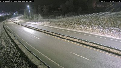



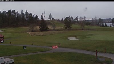
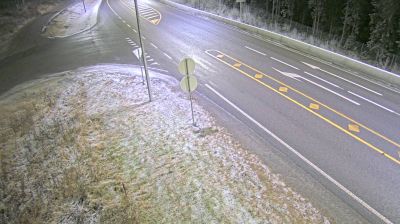

Jevnaker lies at the southern end of Lake Randsfjorden, where the lake drains into the Randselva amid the wooded, rolling terrain of eastern Norway. The town belongs to Hadeland, a district traditionally associated with farming and forest industries. Hadeland Glassverk, founded in 1762 beside the river, has made Jevnaker a long-standing centre of Norwegian glassmaking; its workshops, shops and exhibitions remain an important local attraction. Along the Randselva, Kistefos combines a former pulp mill with a museum and sculpture park, including The Twist gallery bridge. Forest roads, lakeshore routes and the waterway remain close to everyday life here. Explore nearby webcam locations that provide complementary perspectives on Randsfjorden and Hadeland.
1 webcam
The terrain of Akershus ranges from cultivated lowlands beside the Oslofjord in the west to forested hills and river valleys in the east and north, giving the county both coastal and inland character. Encircling much of Oslo, it links the capital with farmland, woodland and growing towns. The Glomma, Norway’s longest river, runs along parts of Akershus’s eastern side. At Eidsvoll, the Norwegian Constitution was adopted in 1814, a defining moment in the country’s modern history. Explore nearby webcam locations that provide complementary perspectives on Akershus.
55 webcams
Norway has served as a seafaring link between the North Atlantic and northern Europe since the Viking Age. Its long coastline is cut by fjords, while the Lofoten archipelago rises sharply from the Norwegian Sea and the mountains of Jotunheimen include Galdhøpiggen, Norway’s highest peak. Bergen’s Bryggen, the former Hanseatic wharf, recalls centuries of maritime trade. Farther north, Sámi culture remains an essential part of the country’s identity. Explore nearby webcam locations that provide complementary perspectives on Norway’s coast, fjords and mountain regions.
1.5K webcams