 Iurreta: Autopista del Cantábrico
Iurreta combines a working industrial-valley character with a rural Basque setting in a way that reflects its geographical position. The municipality lies beside Durango in Bizkaia, in the Ibaizabal valley, between the built-up transport corridor towards Bilbao and the wooded foothills of the Urkiola area. The Autopista del Cantábrico, signed AP-8 through the Basque Country, forms part of the main road axis between Bilbao and the French border. Iurreta is more than a motorway stop: scattered neighbourhoods, farmhouses and parish traditions belong to the Durangaldea comarca, where Basque is co-official alongside Spanish. Its road infrastructure gives the town a strategic role while the surrounding relief maintains a clear link with the inland landscape.
Generated by AI
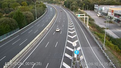
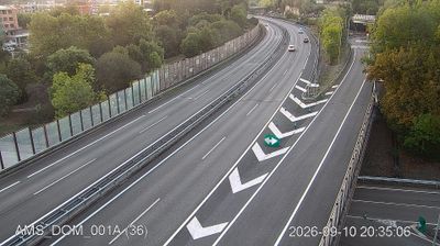
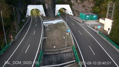

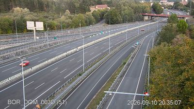


Tucked into the Ibaizabal valley in Biscay, Iurreta is a place whose character is shaped by the green, rain-fed foothills of the Basque interior. The municipality stands beside Durango in the Durangaldea comarca, where the Ibaizabal River corridor has long linked inland Basque towns with the province’s larger urban areas. Mount Oiz rises to the northeast, above a mix of residential streets, workshops and scattered baserri farmhouses. Iurreta was incorporated into Durango in 1926 and regained municipal independence in 1990, a recent chapter that still distinguishes its local identity. Browse other webcams across the Basque Country to place this setting in a wider geographic context.
2 webcams
The Atlantic shore of the Bay of Biscay and the ridges of the Cantabrian Mountains define much of the Autonomous Community of the Basque Country – ports, fishing, industry and farming have developed across its varied terrain. Its three provinces, Álava, Biscay and Gipuzkoa, extend from Bilbao’s estuary to the inland plains around Vitoria-Gasteiz, the regional capital. Euskara, the Basque language, shares official status with Spanish and remains central to local identity. Bilbao’s Guggenheim Museum, opened in 1997, is an internationally recognised symbol of the region’s modern cultural profile, while San Sebastián is shaped by La Concha Bay. See how the Basque Country fits into northern Spain by browsing webcams nearby.
51 webcams
Spain extends from the Cantabrian coast to the Canary Islands, encompassing Atlantic shores, Mediterranean beaches and the broad interior Meseta. The Pyrenees form its northeastern frontier, while the Guadalquivir crosses Andalusia on its way to the Atlantic. Madrid anchors the country’s political and cultural life, but distinct regional identities are central to Spain’s character: Catalonia, the Basque Country, Galicia and Andalusia each have their own languages or strong local traditions. Granada’s Alhambra is a major monument of the medieval Nasrid dynasty, and Santiago de Compostela remains the destination of the Camino de Santiago. Browse related webcams around the Iberian Peninsula to build a fuller picture of Spain.
1.3K webcams