 Island Falls: I-95 Mile 276 SB
Island Falls combines a compact northern Maine townscape with a wooded river setting in a way that reflects its position in Aroostook County. The community takes its name from the islands and falls of the Mattawamkeag River, which runs through town before joining the Penobscot River farther south. US Route 2 gives Island Falls a practical link across northern Maine, while the surrounding forest and waterways place it firmly within the state’s expansive interior. It is a small settlement rather than a resort centre, valued as a stop on a long overland route and as a base for the quieter landscapes of Aroostook County. The river remains the local feature that best explains both the town’s name and its setting.
Generated by AI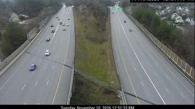

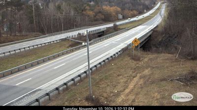
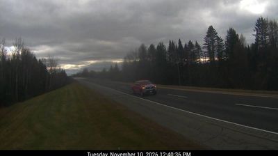
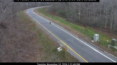
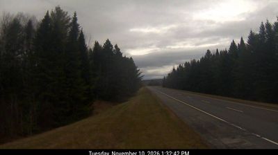
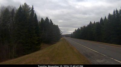
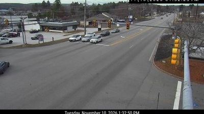
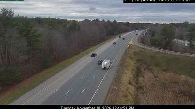
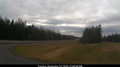

The West Branch Mattawamkeag River defines the setting of Island Falls — its falls gave the town its name and its course runs through wooded Aroostook County. Incorporated in 1872, Island Falls developed amid northern Maine’s forest-and-water country, where the changing seasons remain central to local life. U.S. Route 2 passes through town, linking it with other communities across the state’s northern interior. The river, roadside services and surrounding woods give this small Maine town a practical, unhurried character. Continue through nearby webcams to explore different parts of Aroostook County and northern Maine.
6 webcams
Atlantic coastline and extensive northern forests define much of Maine - fishing ports, boatbuilding communities and the forest-products industry have long shaped the state’s economy and identity. The Gulf of Maine cuts into a rugged shore of islands, peninsulas and tidal inlets, while the Penobscot River runs from the interior toward Penobscot Bay. Inland, Baxter State Park contains Mount Katahdin, the northern terminus of the Appalachian Trail. Acadia National Park on Mount Desert Island protects granite headlands and coastal woodland. Maritime traditions remain tangible in Maine’s lobster fishery, and Portland Head Light, completed in 1791, stands near Portland as a historic beacon. Browse additional webcams from the surrounding area to extend your view of Maine.
427 webcams
The Atlantic, Pacific and Gulf coasts define much of the United States — their ports, fisheries and trade routes have long tied the country’s economy to the wider world. Between them, the Rocky Mountains, Great Plains and Mississippi River basin form sharply different regions, from high western ranges to broad agricultural heartlands. Cities carry much of the national story: New York’s Statue of Liberty, a gift from France dedicated in 1886, remains an enduring symbol, while Washington, DC concentrates major federal institutions. Indigenous nations have shaped these lands for millennia, and their living cultures remain essential to the country’s identity. Find related webcams in the surrounding areas to build a fuller picture of the United States.
32K webcams