 Inyokern: US-395 : North of SR-14 4
Bradys straddles U.S. Route 395 in California’s Mojave Desert, and its roadside position has made it part of a long north–south corridor through the Indian Wells Valley. This is a broad, sparsely settled basin, with the Sierra Nevada rising to the west and the Coso Range to the east. The landscape is defined by desert scrub, open ground and long, straight transport routes rather than dense development. U.S. Route 395 was designated in 1926 and remains one of the principal highways linking Southern California with the eastern Sierra and Nevada. Bradys reflects the scale and isolation that characterize this section of inland California.
Generated by AI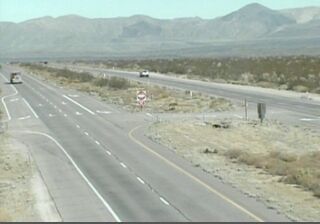
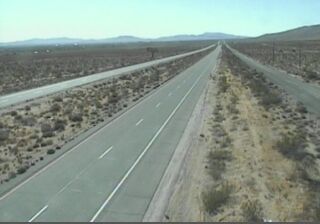

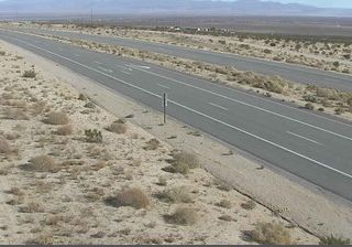
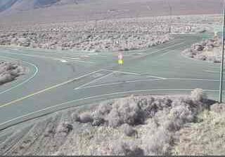

Inyokern is best known within California for Inyokern Airport, a public airfield that has long served the Indian Wells Valley. The community lies in the Mojave Desert between the southern Sierra Nevada and the El Paso Mountains, where Highway 395 connects the valley with routes through eastern California. During the Second World War, the airport was developed by the U.S. Navy as an auxiliary field for the nearby Naval Ordnance Test Station at China Lake, linking this small desert settlement to the region’s aerospace and defense history. Today, Inyokern is a practical base for exploring the broad basin and desert roads around Ridgecrest. Browse additional webcams from the surrounding area to extend your view of the Indian Wells Valley and eastern California.
4 webcams
California occupies a long Pacific coastal belt in the United States. Its terrain ranges from the Sierra Nevada and the fertile Central Valley to deserts in the southeast and the rugged shores of the Pacific Ocean. The state includes both Mount Whitney, the highest point in the contiguous United States, and extensive protected lands such as Yosemite National Park. California’s cities have exerted worldwide influence through film, technology, agriculture, and music; Hollywood remains an enduring symbol of the American screen industry. Its scale means climates and local character can change dramatically from one county to the next. Continue through nearby webcams to explore different parts of California.
2.9K webcams
The Atlantic, Pacific and Gulf coasts define much of the United States — their ports, fisheries and trade routes have long tied the country’s economy to the wider world. Between them, the Rocky Mountains, Great Plains and Mississippi River basin form sharply different regions, from high western ranges to broad agricultural heartlands. Cities carry much of the national story: New York’s Statue of Liberty, a gift from France dedicated in 1886, remains an enduring symbol, while Washington, DC concentrates major federal institutions. Indigenous nations have shaped these lands for millennia, and their living cultures remain essential to the country’s identity. Find related webcams in the surrounding areas to build a fuller picture of the United States.
32K webcams