 Imatra: Imatrankoski: Tie 6 Imatra Rönkkä - Lappeenrantaan
Imatra sits on the Vuoksi River in southeastern Finland, where the outflow from Lake Saimaa begins its course towards Lake Ladoga. The city is closely associated with Imatrankoski, a powerful stretch of rapids whose water has long supported local industry and whose banks became a noted destination for nineteenth-century travellers. Imatra forms part of South Karelia, a region of forests and lakes shaped by its position near the Finnish-Russian border. National Road 6 passes through the area, linking Imatra northward with Joensuu and southwest toward Lappeenranta. This working transport corridor runs through the lake-and-river landscape that defines much of eastern Finland.
Generated by AI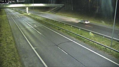
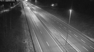
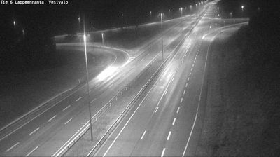
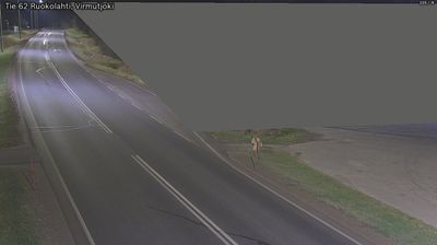
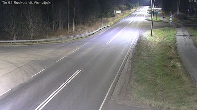
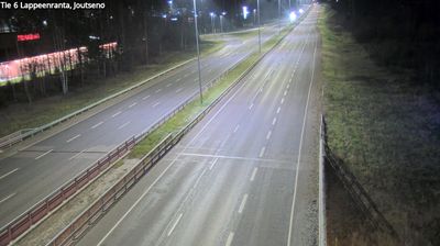
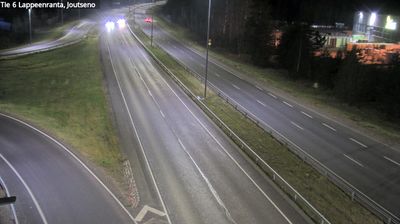
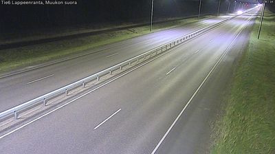
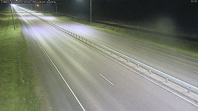

Imatra lies along the Vuoksi River in southeastern Finland, where water from Lake Saimaa passes through a low, forested landscape near the Russian border. The city is defined by Imatrankoski, among Finland’s oldest tourist attractions and one of its designated national landscapes; the rapids are released from the dam for scheduled displays. Above the gorge stands Imatran Valtionhotelli, a landmark Art Nouveau hotel completed in 1903. The Vuoksi has also long powered local industry, an important part of Imatra’s identity. Find related webcams in the surrounding area to build a fuller picture of Imatra and South Karelia.
3 webcams
Lake Saimaa and the Vuoksi waterway define much of South Karelia – their shores, forests and channels have long supported forestry, boating and lakeside settlement. In southeastern Finland, the region borders Russia and centres on Lappeenranta, a university city on the lake. Its Lappeenranta Fortress preserves the old town’s military past, while the Saimaa Canal links the lake system towards the Gulf of Finland. Imatra is known for the Imatrankoski rapids, where the Vuoksi leaves Saimaa. Karelian food traditions remain part of local identity, notably filled rye pastries. Continue with other webcams from the area to see how this part of South Karelia connects regionally.
48 webcams
The terrain of Finland ranges from low coastal plains along the Gulf of Bothnia to fells in Lapland, creating a country of forests, lakes and long northern distances. More than 180,000 lakes shape everyday life, while the Lakeland region is threaded with waterways and islands. Helsinki, on the Gulf of Finland, combines neoclassical landmarks around Senate Square with contemporary Finnish design. Farther north, the Sámi are Finland’s only recognised Indigenous people, and their culture remains closely connected to the Arctic region. In winter, snow and ice transform the north; in summer, long daylight extends outdoor life well into the evening. Continue through nearby webcams to explore different parts of Finland.
1.7K webcams