 Hårr: Kvassheim
Harr is best known within Rogaland for its place on the Jæren coast, a low-lying farming district beside the North Sea. The locality lies near Kvassheim, where Norwegian County Road 44 crosses the open coastal plain towards Bryne. This is among Norway’s most intensively cultivated rural regions: broad fields, drainage channels and scattered farmsteads give the terrain a character quite different from the fjord country often associated with Rogaland. Kvassheim fyr, a former lighthouse near the shore, recalls the close connection between Jæren’s farms, fishing grounds and North Sea shipping. Harr is a useful reference point for exploring southern Jæren’s coastal settlements and agricultural land.
Generated by AI
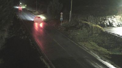
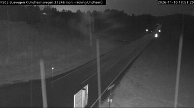
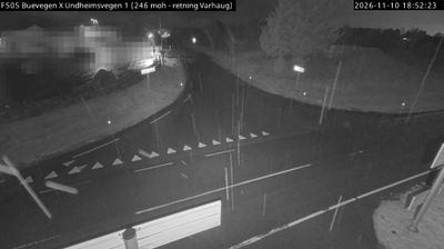
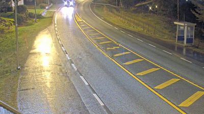
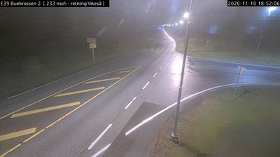


Harr has served as a farming settlement on Rogaland’s Jæren coast for centuries. It lies beside the North Sea on a broad, low-lying plain, where cultivated fields extend close to sandy beaches and an exposed shoreline—quite unlike Norway’s fjord country. Agriculture remains central to Jæren, one of the country’s leading farming districts, while Atlantic weather gives the coast an open, maritime character. In Hå municipality, Hå gamle prestegard, a former rectory, now operates as a cultural venue. Browse other webcams across Rogaland’s Jæren coast to place this setting in a wider geographic context.
1 webcam
Built around North Sea ports and the fertile farmland of Jæren, Rogaland grew into one of Norway’s leading maritime and energy regions. Stavanger, its largest city, is closely associated with the country’s offshore petroleum industry and preserves the 12th-century Stavanger Cathedral at its centre. The coast shifts from the long, open beaches of Jæren to islands and sheltered sounds, while Lysefjord cuts deep into the mountains farther east. Preikestolen, the celebrated rock plateau above the fjord, is among the area’s best-known landmarks. Continue with other webcams from the area to see how this part of southwestern Norway connects regionally.
89 webcams
Norway has served as a seafaring link between the North Atlantic and northern Europe since the Viking Age. Its long coastline is cut by fjords, while the Lofoten archipelago rises sharply from the Norwegian Sea and the mountains of Jotunheimen include Galdhøpiggen, Norway’s highest peak. Bergen’s Bryggen, the former Hanseatic wharf, recalls centuries of maritime trade. Farther north, Sámi culture remains an essential part of the country’s identity. Explore nearby webcam locations that provide complementary perspectives on Norway’s coast, fjords and mountain regions.
1.5K webcams